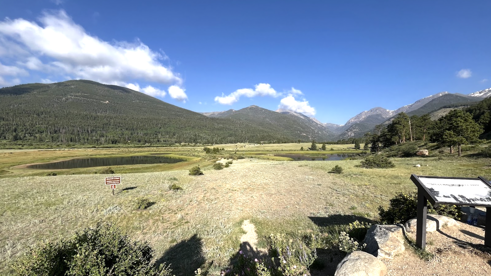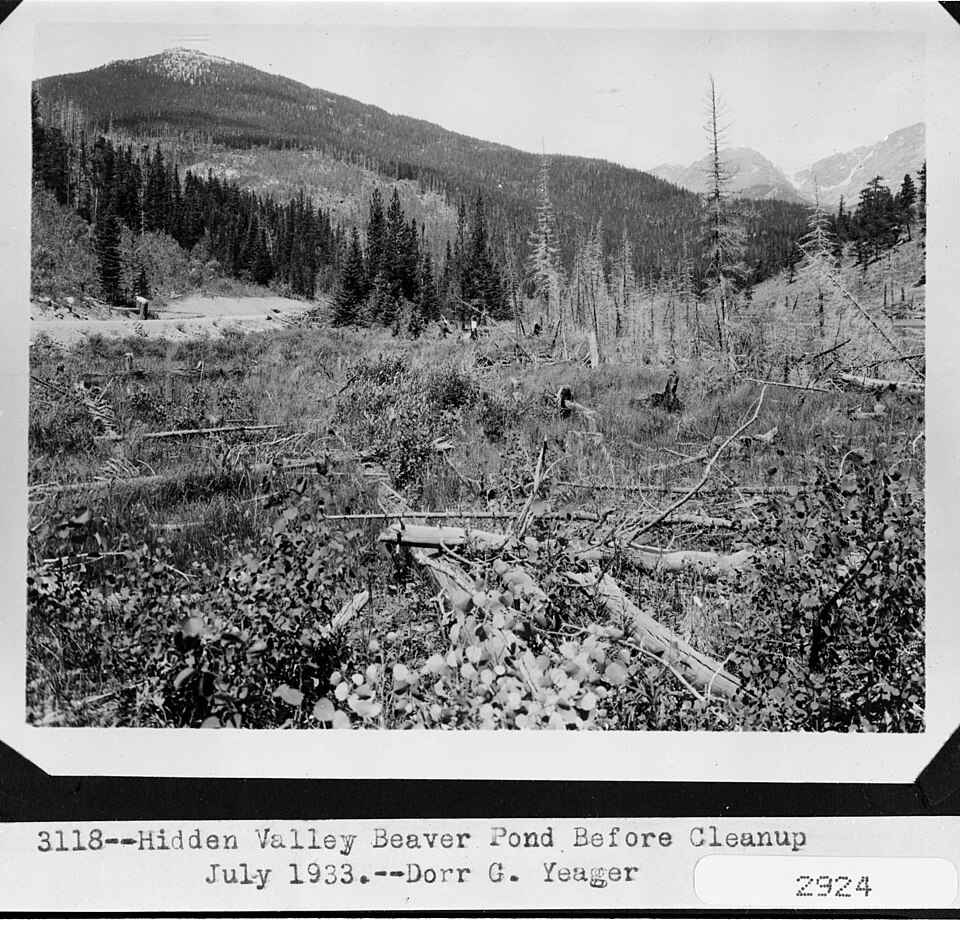
About Beaver Ponds, Hidden Valley
The Fall River / Horseshoe Park setting gives Beaver Ponds, Hidden Valley its frame: an easy pond, 9,145 feet high, and positioned on the east side of the Continental Divide.
It lies near Trail Ridge Road. It is listed as 0.1 miles from Beaver Ponds Boardwalk (Hidden Valley), so the commitment is mostly about reaching the trailhead or roadside access point. The Fall River and Horseshoe Park side mixes roadside access, old travel corridors, and high basins below the Mummy Range. It works best as an access-friendly water stop rather than a backcountry objective.
NPS distance tables place Sheep Lakes, Fall River, Endovalley, and the Alpine Visitor Center along the same north-side travel corridor, tying this area to both valley wildlife habitat and high Trail Ridge access.
🚫 No restroom at the Beaver Ponds Boardwalk (Hidden Valley) trailhead — plan accordingly. No facilities at the boardwalk trailhead. Hidden Valley TH nearby has flush toilets.