About Beaver Ponds, Kawuneeche Valley
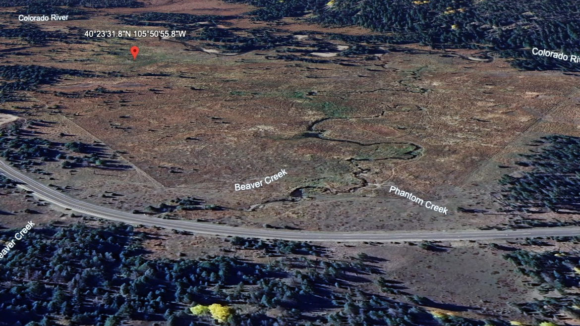
Beaver Ponds, Kawuneeche Valley asks for a easy outing by this site's scale, with 0.1 miles listed one-way from Beaver Ponds Picnic Area. The lake itself sits at 8,970 feet in Kawuneeche Valley (West).
It lies along Colorado River corridor. It is listed as 0.1 miles from Beaver Ponds Picnic Area, so the commitment is mostly about reaching the trailhead or roadside access point. The Kawuneeche Valley is the west-side Colorado River corridor, with broad valleys below remote alpine basins. It works best as an access-friendly water stop rather than a backcountry objective.
NPS park materials identify the west side around Grand Lake and Kawuneeche as part of the Colorado River side of the park, a broader valley landscape than the tight east-side cirques.
🚻 Restroom available at the Beaver Ponds Picnic Area trailhead. Vault toilet at the picnic area on the west side near Kawuneeche.