About Black Lake
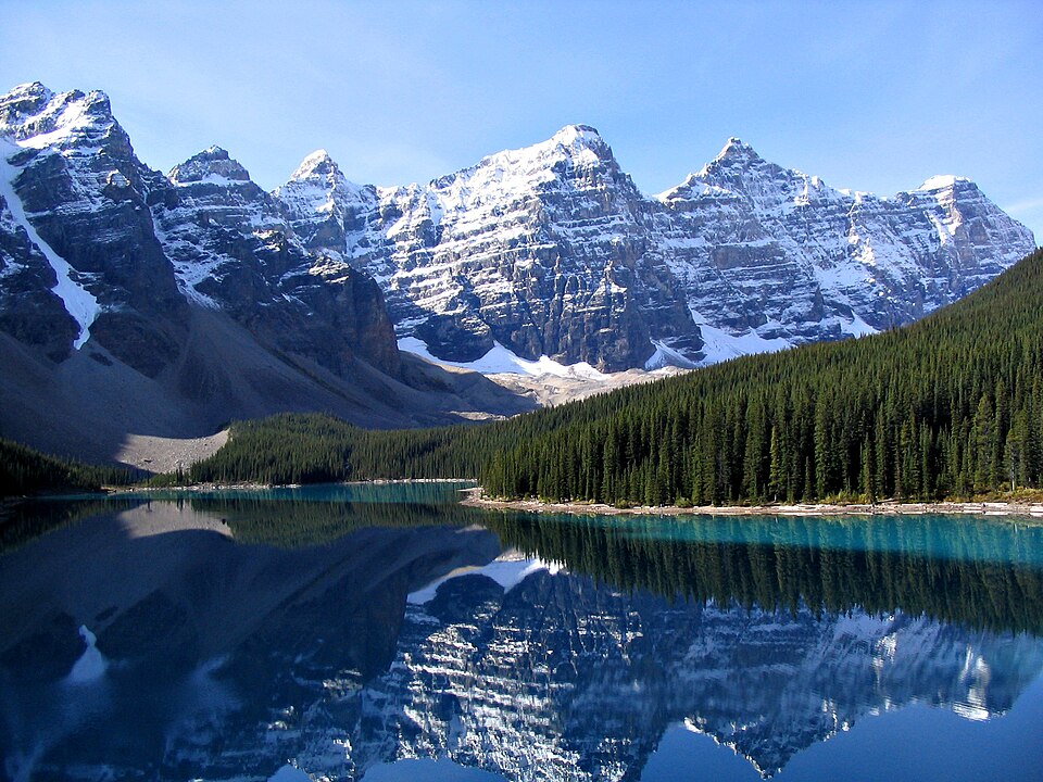
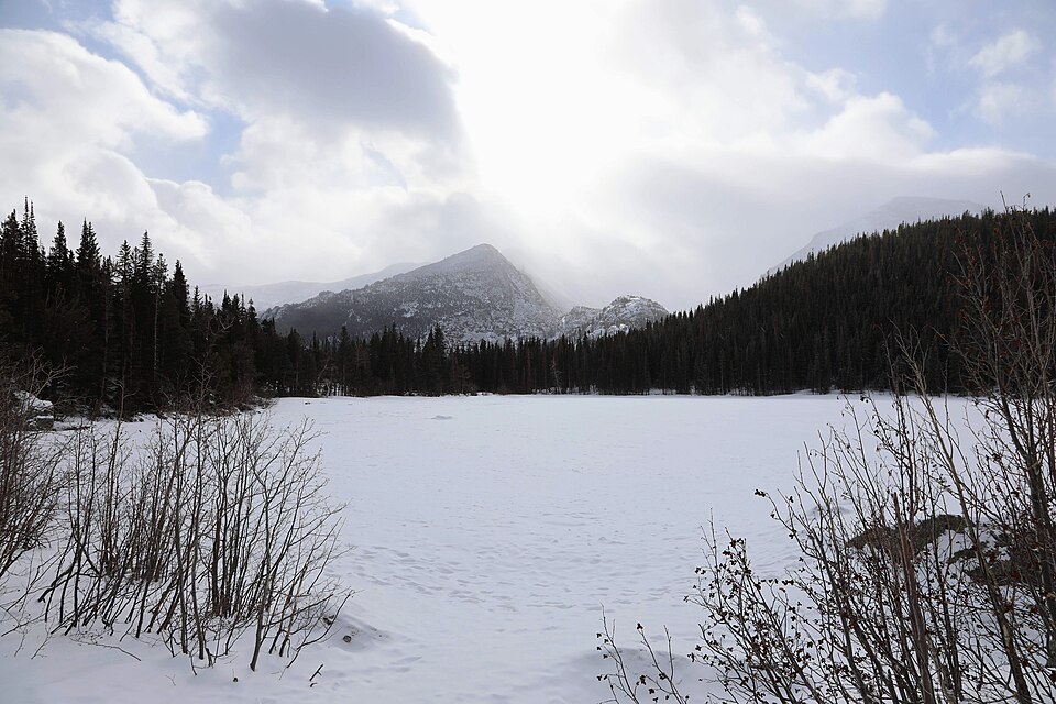
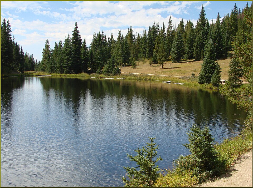
Black Lake is an upper Glacier Gorge lake at 10,621 feet, reached from Glacier Gorge Trailhead by a hard 4.9-mile one-way hike. The route continues beyond Mills Lake into a higher, more enclosed part of the drainage.
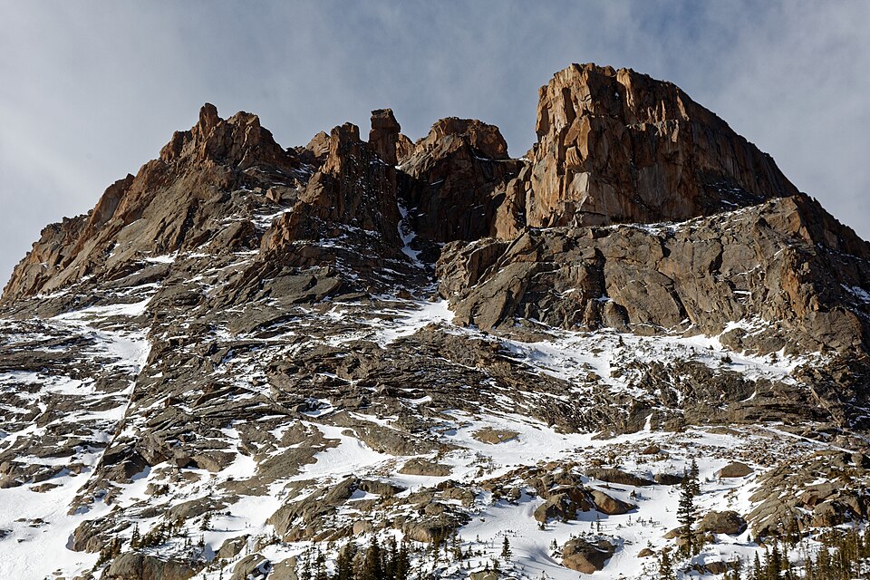
This lake is a natural turning point for strong day hikers and a gateway for the more remote lakes above it. Blue, Green, Frozen, Shelf, and Solitude Lakes all sit in the broader upper Glacier Gorge country, where distance, elevation, and route-finding become more demanding.
NPS trail tables show Glacier Gorge as the starting point for Alberta Falls, Mills Lake, Black Lake, The Loch, Sky Pond, and Andrews Glacier, so lakes here often sit on routes that continue well beyond a single shoreline.
🚻 Restroom available at the Glacier Gorge TH trailhead. Pit/vault toilet at the trailhead. Glacier Basin park-and-ride nearby has flush toilets.