About Bluebird Lake
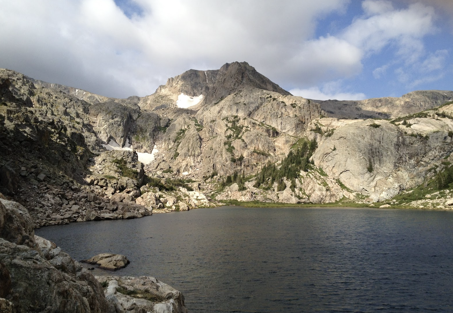
Bluebird Lake is a hard Wild Basin objective at 10,970 feet, 6.0 miles one-way from Wild Basin Trailhead. It sits deeper in the basin than Ouzel Lake and is one of the area's better-known high lake destinations.
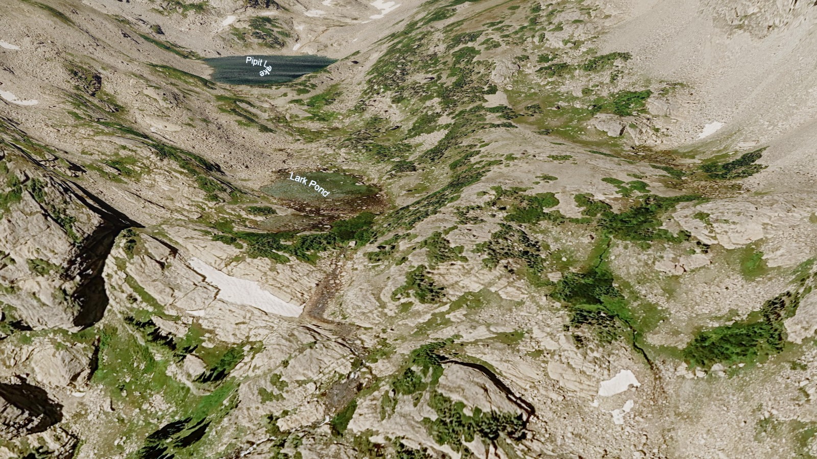
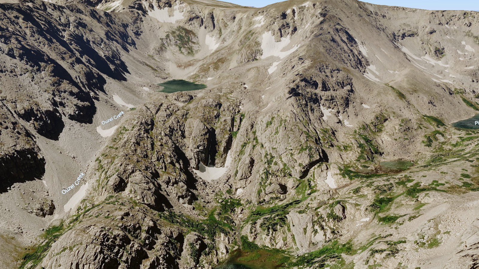
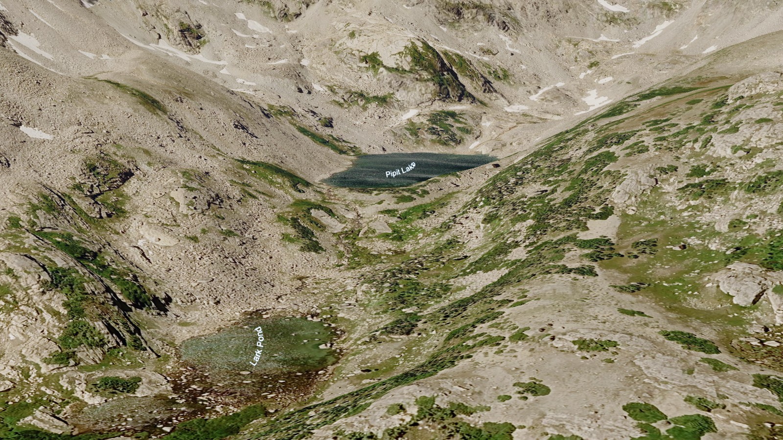
The hike is long enough to feel like a full mountain day. It also acts as a stepping stone in the geography of Wild Basin, with smaller and higher lakes - including Box, Eagle, and the Isolation Peak cluster - spread through the surrounding high country.
NPS hiking and wilderness tables list Wild Basin routes to Ouzel Falls, Ouzel Lake, Thunder Lake, Finch Lake, Pear Lake, and Sandbeach Lake, making this southeast corner one of the park's densest lake-and-waterfall regions.
🚻 Restroom available at the Wild Basin TH trailhead. Vault toilet, picnic tables, and drinking water. In winter the trailhead moves closer to the entrance where an accessible bathroom is available.