About Cascade Lake
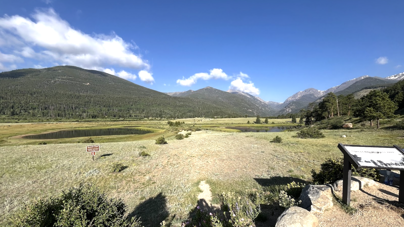
Cascade Lake is a small, named widening of Cow Creek on the east side of Rocky Mountain National Park. Despite its modest size — it reads almost like a slow bend in the creek on satellite — it carries an official name and counts toward the park's catalog of named water features.
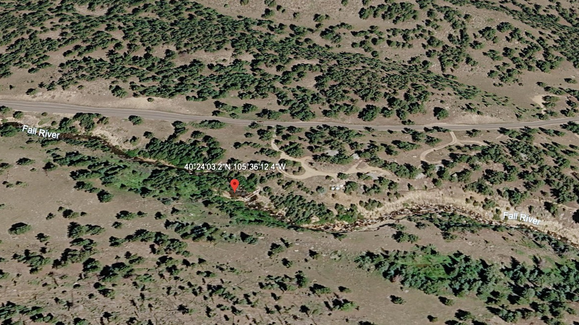
Access is essentially trivial: a roadside pullout on Fall River Road sits about 100 m from the lake, making this a quick stop rather than a hike. Pair it with a longer day in the Endovalley / Alluvial Fan area, or as a 5-minute leg-stretcher between higher-effort objectives.
The setting is forested and quiet, with the creek braiding through the drainage. Don't expect alpine drama — but for cataloguing every named lake in the park, this one is a freebie.
Route Map
Hike Reports
No reports yet for this season.
Log your hike to leave a report for other visitors.