About Lake Catherine
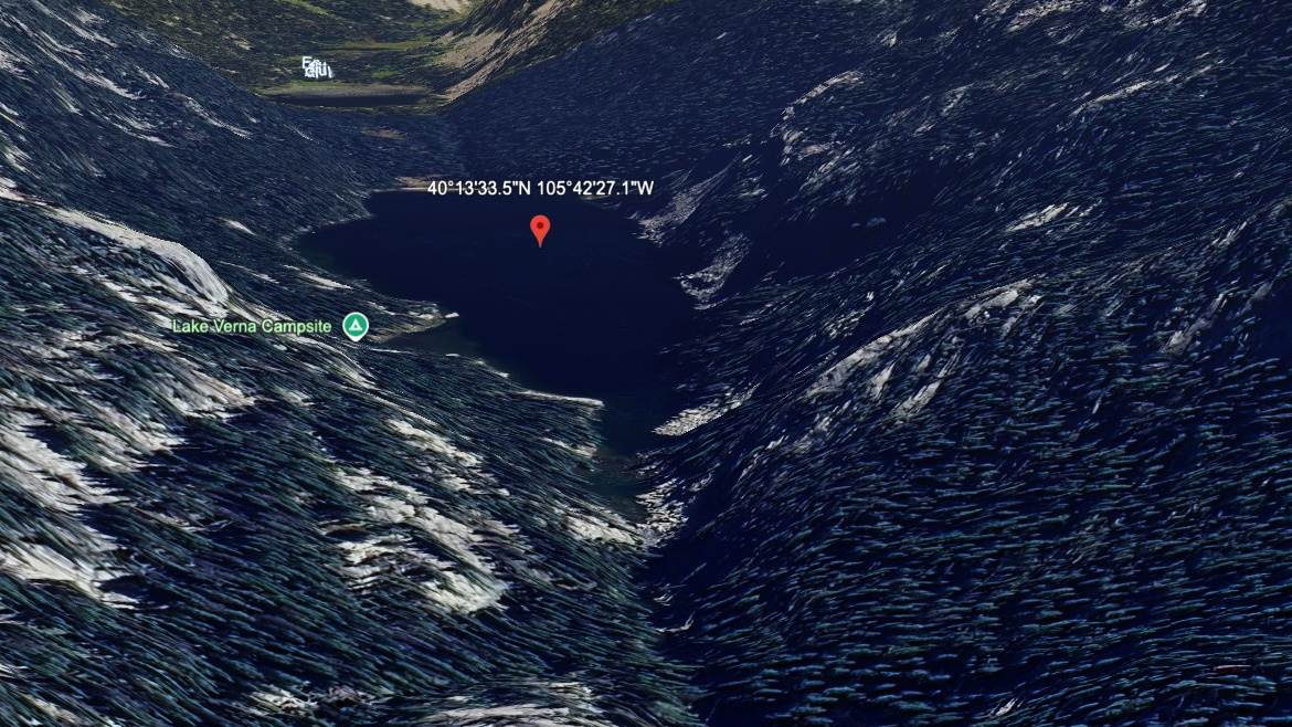
On the map, Lake Catherine belongs to the Wild Basin section of Rocky Mountain National Park, at 10,590 feet on the west side of the Continental Divide. In this guide it is treated as a hard lake. The name is marked informal in the lake data.
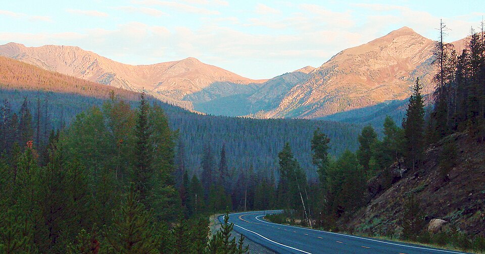
The name is informal, and it is a remote west-side objective. The approach from East Inlet TH is 7.0 miles one-way and belongs in the hard tier for this guide. Wild Basin is a deep southeast corner of the park, with waterfalls, long forested approaches, and many high lakes. The distance and setting make this a plan-ahead destination, not a casual lake stop.
NPS hiking and wilderness tables list Wild Basin routes to Ouzel Falls, Ouzel Lake, Thunder Lake, Finch Lake, Pear Lake, and Sandbeach Lake, making this southeast corner one of the park's densest lake-and-waterfall regions.