About Chickaree Lake
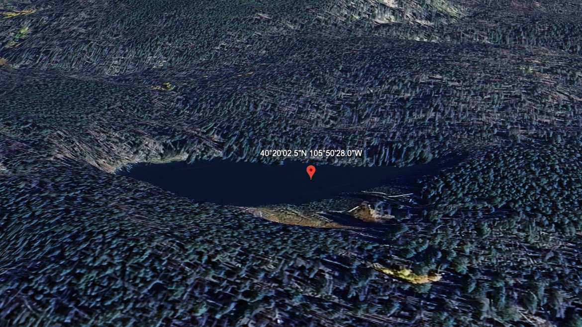
Chickaree Lake sits in a part of RMNP where terrain context matters: Kawuneeche Valley (West), 9,300 feet, west of the Continental Divide. This guide treats it as a moderate lake.
The Kawuneeche Valley is the west-side Colorado River corridor, with broad valleys below remote alpine basins. It is a west-side lake. The approach from Green Mountain TH is 3.2 miles one-way, enough to feel like a real hike without entering the hardest tier.
NPS park materials identify the west side around Grand Lake and Kawuneeche as part of the Colorado River side of the park, a broader valley landscape than the tight east-side cirques.
Route Map
Hike Reports
No reports yet for this season.
Log your hike to leave a report for other visitors.