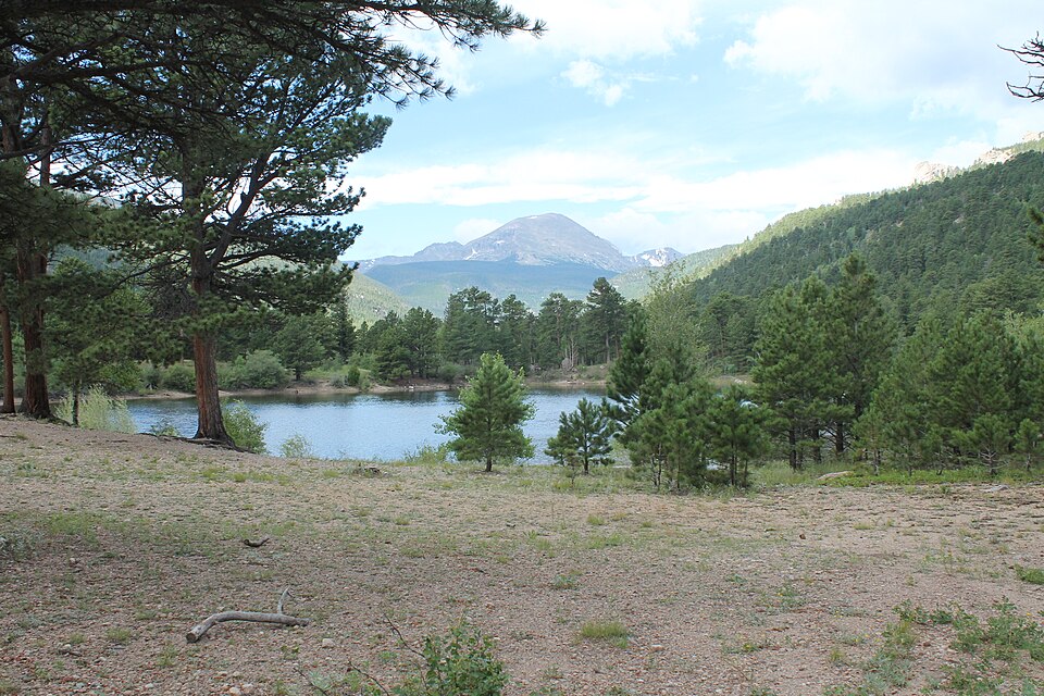
About Copeland Lake
Copeland Lake has its own place in the Wild Basin landscape: an easy lake at 8,312 feet. It sits on the east side of the Continental Divide.
At Wild Basin entrance. It is listed as 0.1 miles from Copeland Lake Trailhead, so the commitment is mostly about reaching the trailhead or roadside access point. Wild Basin is a deep southeast corner of the park, with waterfalls, long forested approaches, and many high lakes. It works best as an access-friendly water stop rather than a backcountry objective.
NPS hiking and wilderness tables list Wild Basin routes to Ouzel Falls, Ouzel Lake, Thunder Lake, Finch Lake, Pear Lake, and Sandbeach Lake, making this southeast corner one of the park's densest lake-and-waterfall regions.
🚻 Restroom available at the Copeland Lake Trailhead trailhead. Vault toilets at adjacent Sandbeach Lake TH lot. Potable water also available.