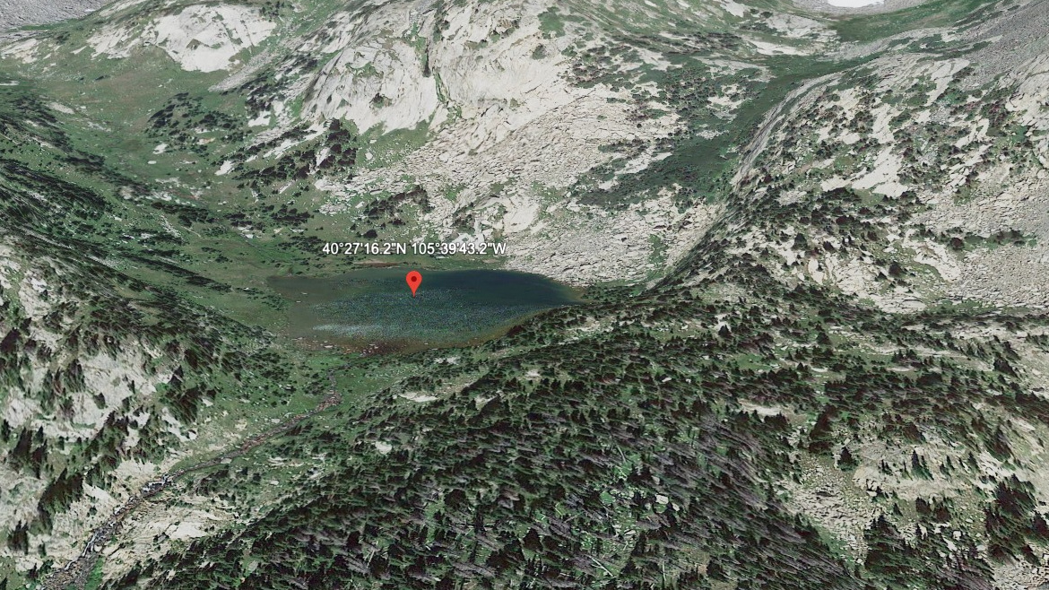
About Fay Lakes (Upper)
Fay Lakes (Upper) is one of three alpine lakes in the Mummy Range, set in the high cirque above Ypsilon Lake. The trio steps up the basin between Ypsilon Mountain (13,514 ft) and Fairchild Mountain (13,502 ft). This is the highest of the cluster, at about 11,220 ft. Upper Fay is formed by runoff from the Ypsilon-Fairchild saddle.
NPS lists the lake at 6.1 miles one-way from the Lawn Lake Trailhead, with about 2,200–2,680 ft of elevation gain depending on which Fay you target. Maintained trail ends at Ypsilon Lake; from there it's second-class scrambling on talus and boulders to reach the Fay basin.
Best as a long day hike or backcountry overnight from the Lawn Lake drainage. The Fay basin is wild, exposed, and a meaningfully harder objective than Ypsilon Lake itself — plan accordingly with weather, water, and route-finding.
🚻 Restroom available at the Lawn Lake TH / Ypsilon Lake Trail trailhead. Pit toilet/privy at the parking area. No potable water.