About Forest Lake
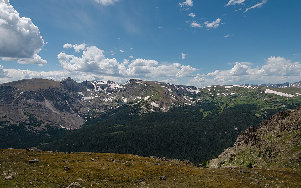
The Fall River / Horseshoe Park setting gives Forest Lake its frame: a hard lake, 10,298 feet high, and positioned on the east side of the Continental Divide.
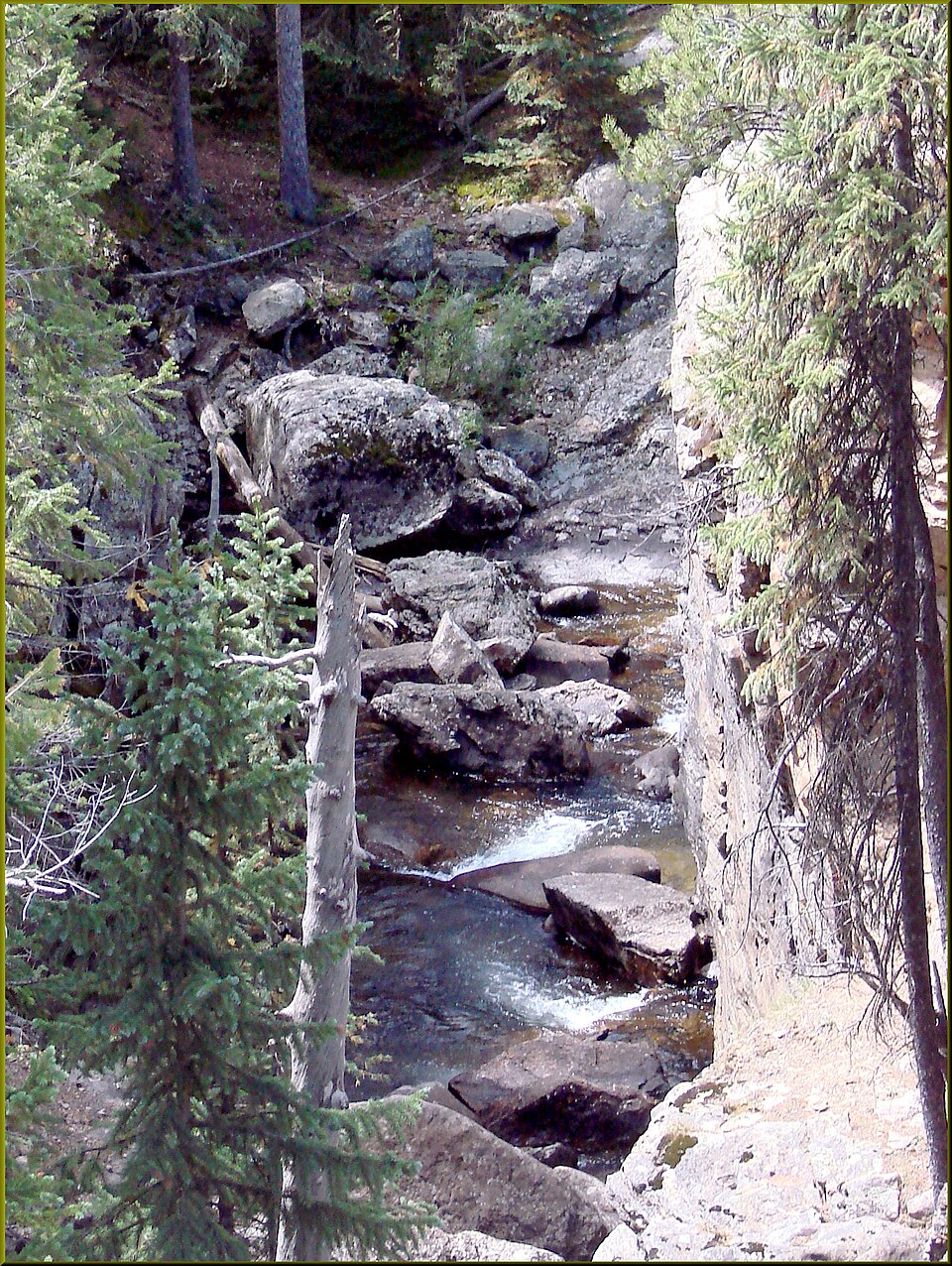
The setting is remote off Fall River Road area. The approach from Fall River / Chapin Pass TH is 5.0 miles one-way and belongs in the hard tier for this guide. The Fall River and Horseshoe Park side mixes roadside access, old travel corridors, and high basins below the Mummy Range. The distance and setting make this a plan-ahead destination, not a casual lake stop.
NPS distance tables place Sheep Lakes, Fall River, Endovalley, and the Alpine Visitor Center along the same north-side travel corridor, tying this area to both valley wildlife habitat and high Trail Ridge access.
🚫 No restroom at the Forest Canyon Overlook (off-trail) trailhead — plan accordingly. No facilities at the overlook. Nearest: Rainbow Curve or Alpine Visitor Center.