About Frigid Lake
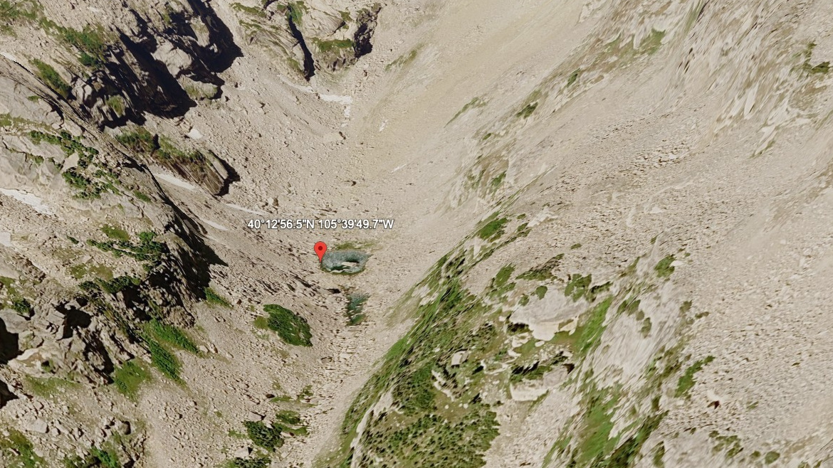
Frigid Lake sits in a part of RMNP where terrain context matters: Wild Basin, 11,821 feet, east of the Continental Divide. This guide treats it as a hard lake.
High remote Wild Basin lake. The approach from Wild Basin TH is 8.0 miles one-way and belongs in the hard tier for this guide. Wild Basin is a deep southeast corner of the park, with waterfalls, long forested approaches, and many high lakes. The distance and setting make this a plan-ahead destination, not a casual lake stop.
NPS hiking and wilderness tables list Wild Basin routes to Ouzel Falls, Ouzel Lake, Thunder Lake, Finch Lake, Pear Lake, and Sandbeach Lake, making this southeast corner one of the park's densest lake-and-waterfall regions.
🚻 Restroom available at the Wild Basin TH trailhead. Vault toilet, picnic tables, and drinking water. In winter the trailhead moves closer to the entrance where an accessible bathroom is available.