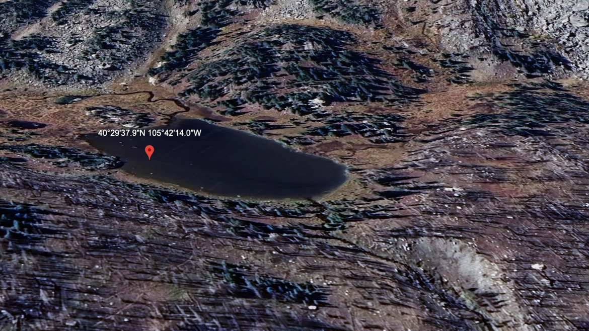
About Hazeline Lake
On the map, Hazeline Lake belongs to the Mummy Range / North Park Area section of Rocky Mountain National Park, at 11,106 feet on the east side of the Continental Divide. In this guide it is treated as a hard lake.
This is remote north-park backcountry. The approach from Chapin / Chiquita TH is 6.0 miles one-way and belongs in the hard tier for this guide. The north park lakes sit in quieter Mummy Range country, with longer approaches and fewer casual lake stops. The distance and setting make this a plan-ahead destination, not a casual lake stop.
NPS wilderness tables list several North Fork and Mummy Range backcountry sites from Dunraven, Lawn Lake, Lumpy Ridge, and Cow Creek trailheads, matching the longer, quieter feel of these lakes.
Route Map
Hike Reports
No reports yet for this season.
Log your hike to leave a report for other visitors.