About Iceberg Lake
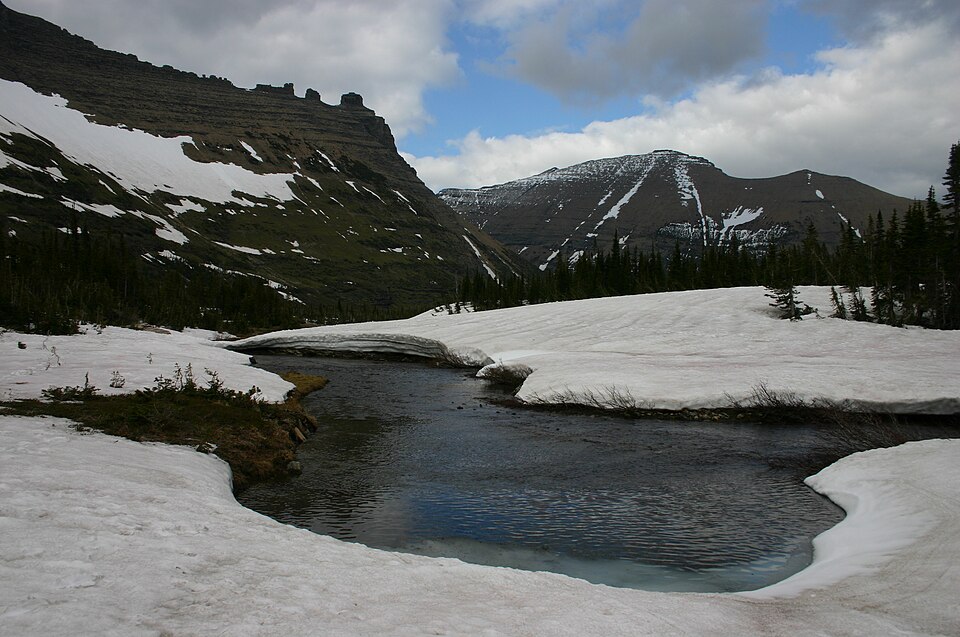
Iceberg Lake asks for a hard outing by this site's scale, with 5.5 miles listed one-way from Fall River TH / Chapin Pass. The lake itself sits at 11,857 feet in Fall River / Horseshoe Park.
High, scenic; near Chapin Pass. The Fall River and Horseshoe Park side mixes roadside access, old travel corridors, and high basins below the Mummy Range. The approach from Fall River TH / Chapin Pass is 5.5 miles one-way and belongs in the hard tier for this guide.
NPS distance tables place Sheep Lakes, Fall River, Endovalley, and the Alpine Visitor Center along the same north-side travel corridor, tying this area to both valley wildlife habitat and high Trail Ridge access.
Route Map
Hike Reports
No reports yet for this season.
Log your hike to leave a report for other visitors.