About Irene Lake (tarn)
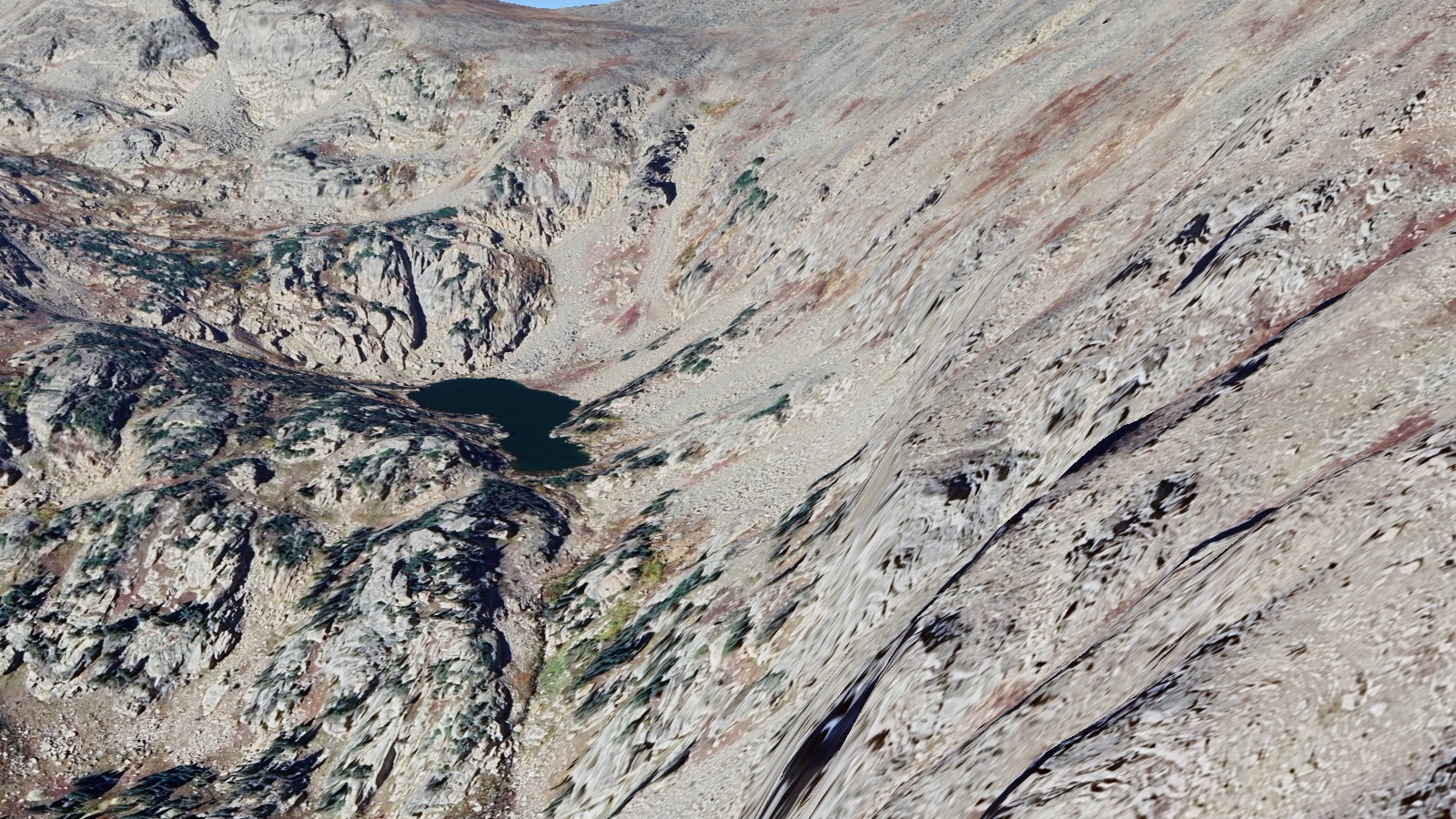
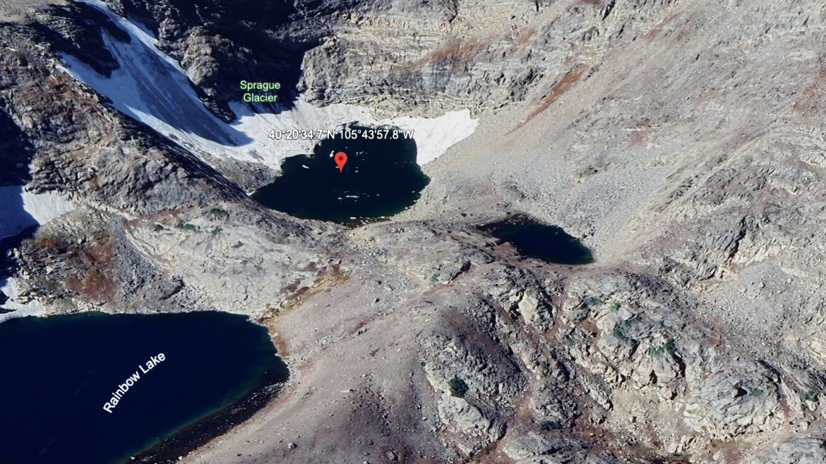
Reaching Irene Lake (tarn) starts with Bear Lake TH (off-trail) and a listed one-way distance of 7.5 miles. The lake sits at 11,860 feet in Continental Divide / Flattop Area, and the route is rated hard here. It is the pond directly fed by Sprague Glacier, and should not be confused with the easily-accessible Sprague Lake off Bear Lake Road, six miles away.
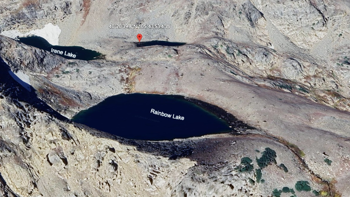
The listed approach is 7.5 miles one-way from Bear Lake TH (off-trail), but this should be treated as a route-finding objective rather than a simple maintained-trail hike. USGS records this pond and the nearby Irene Lake (NE pond) under the same GNIS feature; we split them into two entries since they are visibly separate ponds on the ground. The setting is near Stones Peak, in remote, high divide country that is often more about navigation than maintained-trail hiking.
NPS describes Rocky Mountain National Park as spanning more than 415 square miles, and this divide country sits in the kind of interior terrain where mileage, elevation, and navigation all matter.
🚻 Restroom available at the Bear Lake TH (off-trail) trailhead. Flush toilets at the parking lot. Year-round when road is open.
A note on this name: USGS’s National Hydrography Dataset files this pond and its neighbor — Irene Lake (NE pond), about 600 feet away — under the same federal record, GNIS 177804 “Irene Lake.” We split the name across the two entries so each visibly separate pond has its own page, following the same pattern used elsewhere on this site for other multi-pond lake groups. See our full writeup, with satellite imagery, official records, and edit history, at The Two Irene Lakes Below Sprague Glacier.