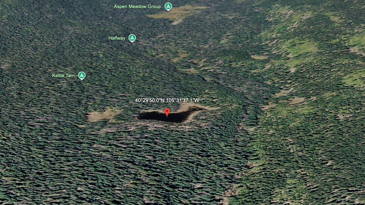
About Kettle Tarn
Kettle Tarn asks for a moderate outing by this site's scale, with 3.0 miles listed one-way from North Fork / Dunraven TH. The lake itself sits at 9,215 feet in Mummy Range / North Park Area. The name is marked informal in the lake data.
The name is informal, and the setting is north-park backcountry. The north park lakes sit in quieter Mummy Range country, with longer approaches and fewer casual lake stops. The approach from North Fork / Dunraven TH is 3.0 miles one-way, enough to feel like a real hike without entering the hardest tier.
NPS wilderness tables list several North Fork and Mummy Range backcountry sites from Dunraven, Lawn Lake, Lumpy Ridge, and Cow Creek trailheads, matching the longer, quieter feel of these lakes.
🚻 Restroom available at the North Fork / Dunraven TH trailhead. Vault/pit toilet on site. No potable water.