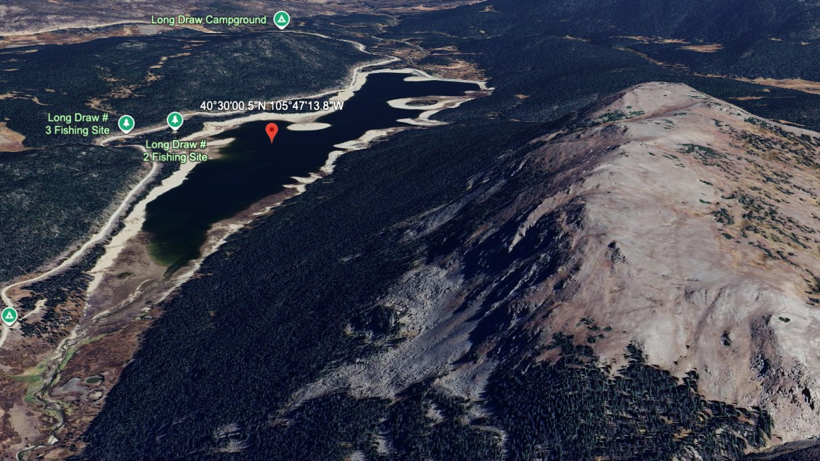
About Long Draw Reservoir
Reaching Long Draw Reservoir starts with Long Draw Reservoir access (road-accessible) and a listed one-way distance of 0.1 miles. The lake sits at 10,104 feet in Mummy Range / North Park Area, and the route is rated easy here.
Reservoir; accessed via Long Draw Road. It is listed as 0.1 miles from Long Draw Reservoir access (road-accessible), so the commitment is mostly about reaching the trailhead or roadside access point. The north park lakes sit in quieter Mummy Range country, with longer approaches and fewer casual lake stops. It works best as an access-friendly water stop rather than a backcountry objective.
NPS wilderness tables list several North Fork and Mummy Range backcountry sites from Dunraven, Lawn Lake, Lumpy Ridge, and Cow Creek trailheads, matching the longer, quieter feel of these lakes.
🚻 Restroom available at the Long Draw Reservoir access (road-accessible) trailhead. Vault toilets and potable water at USFS Long Draw Campground. Open July through late November.