About Lost Lake
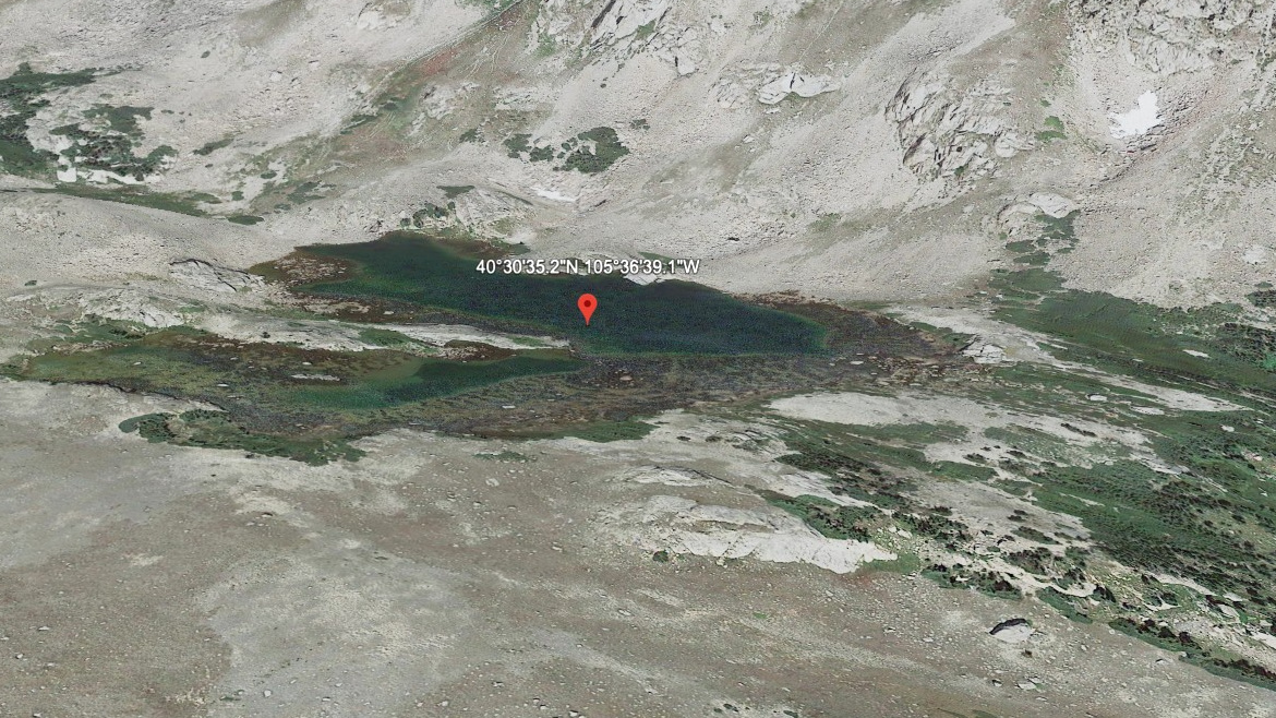
The Mummy Range / North Park Area setting gives Lost Lake its frame: a hard lake, 10,714 feet high, and positioned on the east side of the Continental Divide.
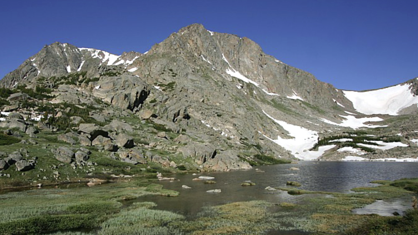
This is remote north-park backcountry. The approach from Dunraven / North Fork TH is 7.0 miles one-way and belongs in the hard tier for this guide. The north park lakes sit in quieter Mummy Range country, with longer approaches and fewer casual lake stops. The distance and setting make this a plan-ahead destination, not a casual lake stop.
NPS wilderness-site data also lists Lost Lake in the North Fork Area: 9.7 miles from the trailhead, 2,750 feet of elevation change, an average snow-free date of July 6, and a site elevation of 10,710 feet.
🚻 Restroom available at the Dunraven / North Fork TH trailhead. Vault/pit toilet on site. No potable water.