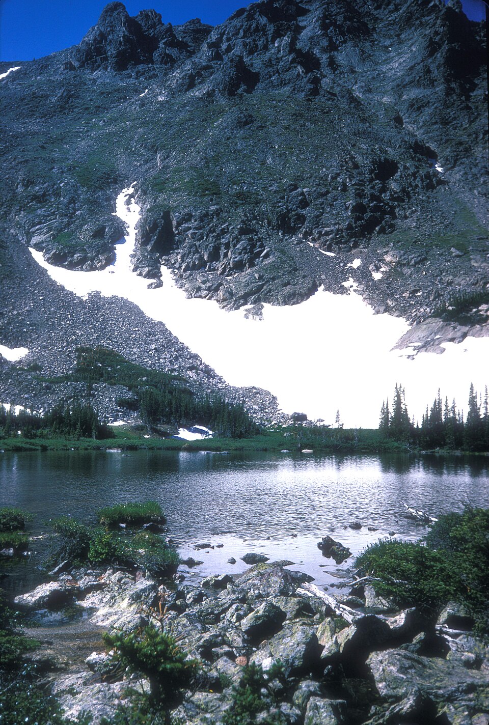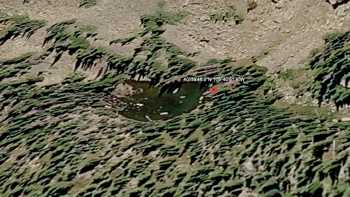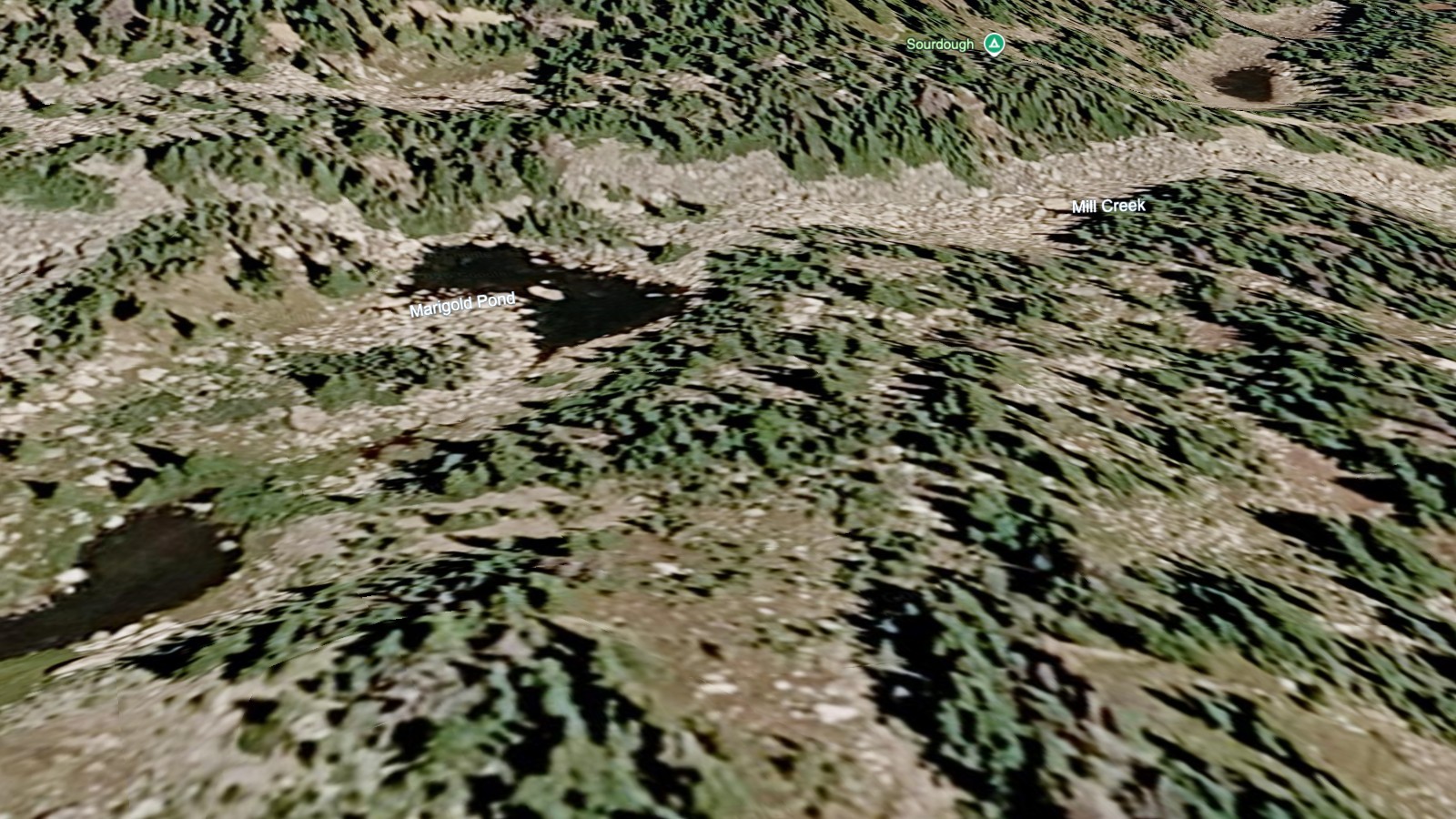
About Marigold Pond
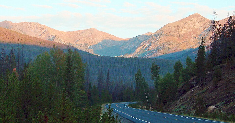
The Bear Lake Corridor / Flattop Area setting gives Marigold Pond its frame: a hard pond, 10,591 feet high, and positioned on the east side of the Continental Divide.
The Flattop side of the Bear Lake area is higher and quieter than the short lake chain below. It lies near Lake Helene. The approach from Bear Lake TH is 4.3 miles one-way and belongs in the hard tier for this guide.
The NPS hiking table lists Flattop Mountain as a 4.4-mile one-way climb from Bear Lake, which helps explain why nearby lakes in this area feel higher and more committing than their map distance alone suggests.
🚻 Restroom available at the Bear Lake TH trailhead. Flush toilets at the parking lot. Year-round when road is open.
Route Map
Hike Reports
No reports yet for this season.
Log your hike to leave a report for other visitors.