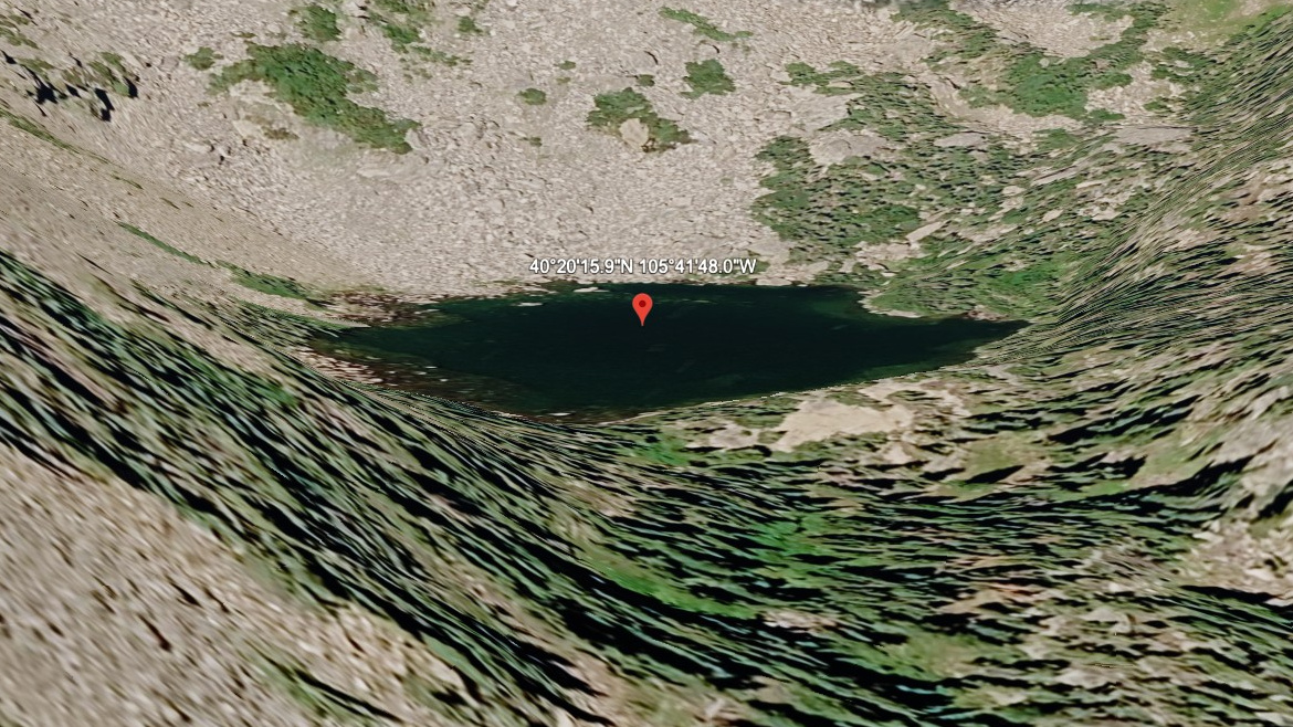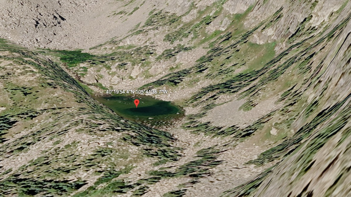
About Primrose Pond
On the map, Primrose Pond belongs to the Moraine Park / Cub Creek section of Rocky Mountain National Park, at 10,140 feet on the east side of the Continental Divide. In this guide it is treated as a hard pond. The name is marked informal in the lake data.
Moraine Park and Cub Creek offer lower-elevation water, meadow, forest, and links into the Fern Lake system. The name is informal, and the setting is near Spruce/Loomis area. The approach from Fern Lake TH is 4.5 miles one-way and belongs in the hard tier for this guide.
NPS hiking tables list Cub Lake and Fern Lake as east-side hikes from different trailheads, and the trail system between them helps make this area more connected than a single out-and-back.
🚫 No restroom at the Fern Lake TH trailhead — plan accordingly. Restrooms are available at the Moraine Park Complex lot, approx. 0.5 miles before this trailhead.