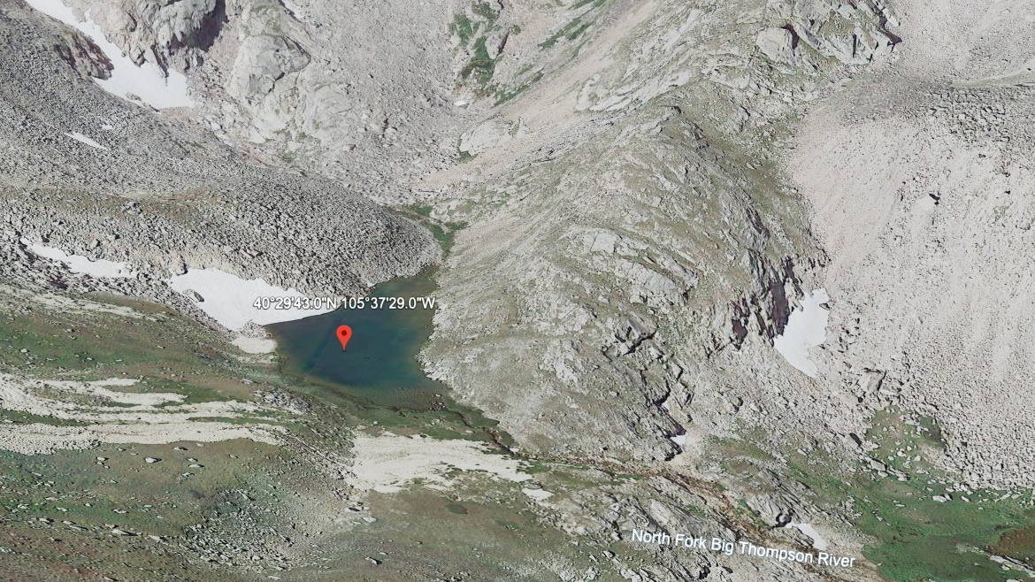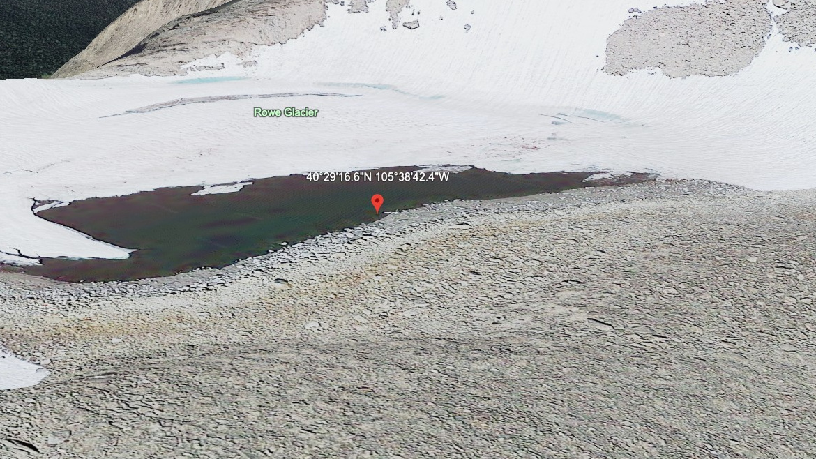
About Rowe Glacier Lake
Rowe Glacier Lake asks for a hard outing by this site's scale, with 8.0 miles listed one-way from Lawn Lake TH (off-trail). The lake itself sits at 13,100 feet in Horseshoe Park / Lawn Lake Area. The name is marked informal in the lake data.
The listed approach is 8.0 miles one-way from Lawn Lake TH (off-trail), but this should be treated as a route-finding objective rather than a simple maintained-trail hike. The name is informal, and it is the highest lake in this area and off-trail only. In this area, the Lawn Lake and Horseshoe Park area climbs from open valley terrain into the Mummy Range high country.
NPS and USGS both document the 1982 Lawn Lake flood as a major hydrologic event in this drainage, which gives the quiet lake basins above Horseshoe Park an unusually visible park-history layer.
🚻 Restroom available at the Lawn Lake TH (off-trail) trailhead. Pit toilet/privy at the parking area. No potable water.