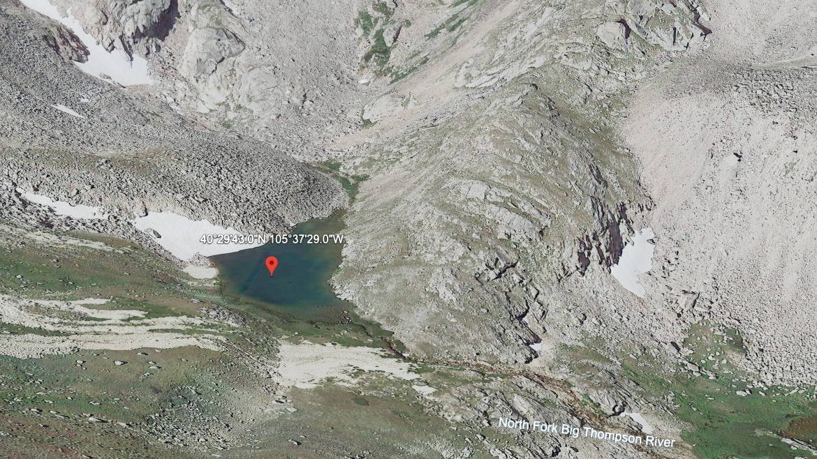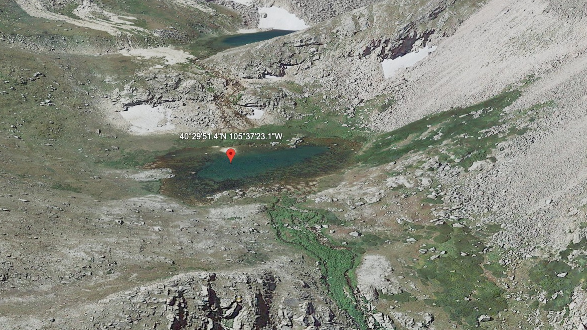
About Whiskey Lake
Whiskey Lake has its own place in the Mummy Range / North Park Area landscape: a hard lake at 11,540 feet. It sits on the east side of the Continental Divide. The name is marked informal in the lake data.
The name is informal, and the setting is remote north-park backcountry. The approach from Dunraven / North Fork TH is 7.5 miles one-way and belongs in the hard tier for this guide. The north park lakes sit in quieter Mummy Range country, with longer approaches and fewer casual lake stops. The distance and setting make this a plan-ahead destination, not a casual lake stop.
NPS wilderness tables list several North Fork and Mummy Range backcountry sites from Dunraven, Lawn Lake, Lumpy Ridge, and Cow Creek trailheads, matching the longer, quieter feel of these lakes.
🚻 Restroom available at the Dunraven / North Fork TH trailhead. Vault/pit toilet on site. No potable water.