About Bighorn Lake
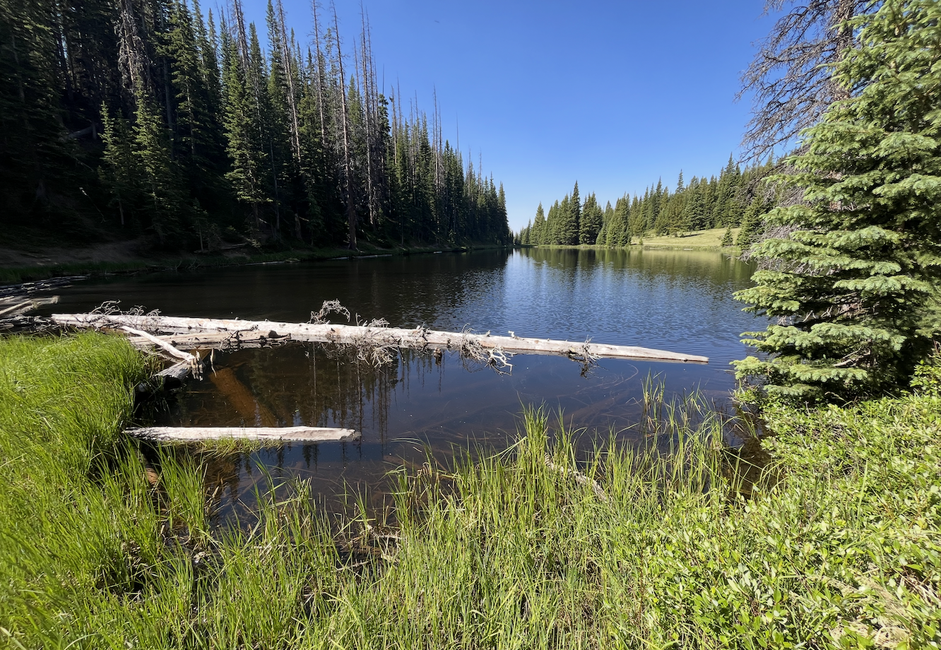
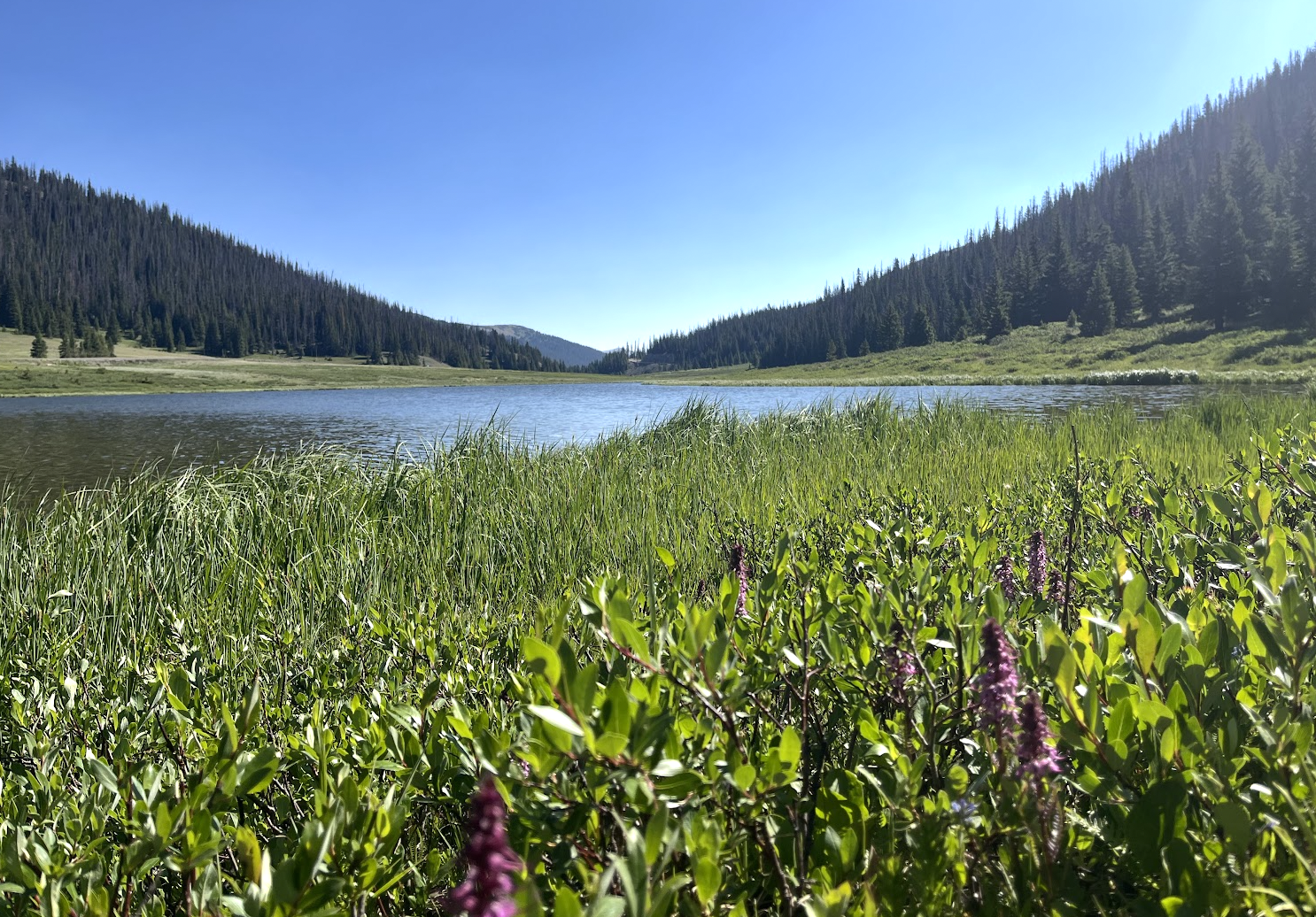
Bighorn Lake is a high alpine lake at 11,057 feet on the west side of the Continental Divide, in the Kawuneeche Valley (West) section of Rocky Mountain National Park. This guide treats it as a hard lake.
The nearest access is the Lake Irene Picnic Area on Trail Ridge Road, with Milner Pass about the same distance away — only around half a mile from the lake as the crow flies. There is no maintained trail, so the hard rating reflects off-trail route-finding and steep terrain rather than the short distance.
NPS park materials identify the west side around Grand Lake and Kawuneeche as part of the Colorado River side of the park, a broader valley landscape than the tight east-side cirques.
🚻 Restroom available at the Lake Irene Picnic Area (Trail Ridge Rd) trailhead. Accessible vault/composting toilet. Seasonal — open only when Trail Ridge Rd is open (mid-May to mid-October).