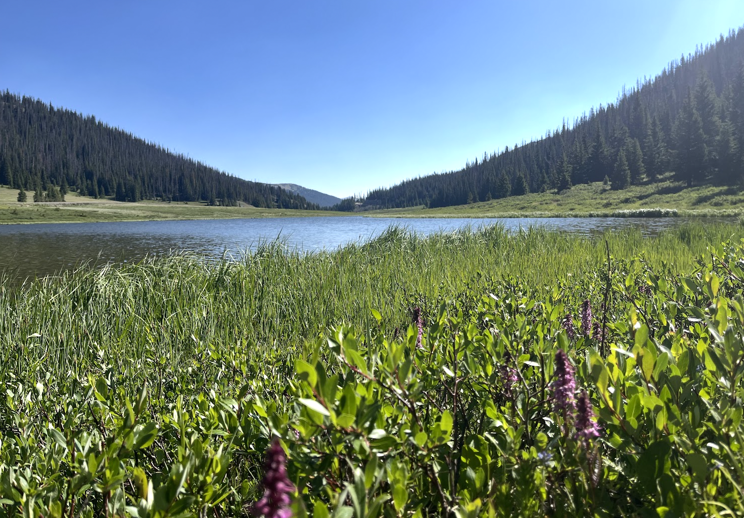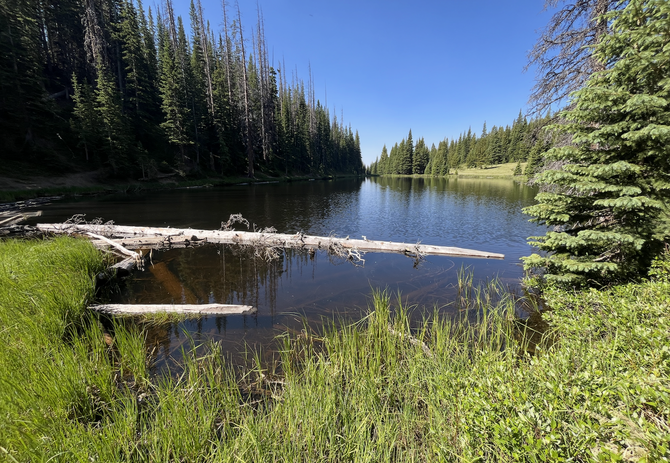
About Lake Irene
Lake Irene is located in the Alpine Visitor Center / Trail Ridge Road section of Rocky Mountain National Park, on the west side of the park. The lake sits just off Trail Ridge Road and is a little over 500 feet from the Lake Irene Picnic Area, making it one of the easier lakes in the park to reach. While the walk is short, the trail is not considered handicap accessible. A pleasant short loop circles the lake and makes this a worthwhile quick stop along Trail Ridge Road.
Lake Irene should not be confused with the two Irene Lake ponds high in the Bear Lake Corridor near Rainbow Lake—Irene Lake (NE pond) and Irene Lake (tarn), the pond fed directly by Sprague Glacier—which USGS records under a single feature but which sit as two visibly separate ponds. Both are much more difficult backcountry destinations than this roadside stop.
The Lake Irene Picnic Area and nearby Milner Pass / Poudre Lake area both sit above 10,700 feet, so even short walks here begin in thin, exposed high-country air. Take your time, watch the weather, and be prepared for cooler alpine conditions.
🚻 Restroom available at the Lake Irene Picnic Area (Trail Ridge Rd) trailhead. Accessible vault/composting toilet. Seasonal — open only when Trail Ridge Rd is open (mid-May to mid-October).