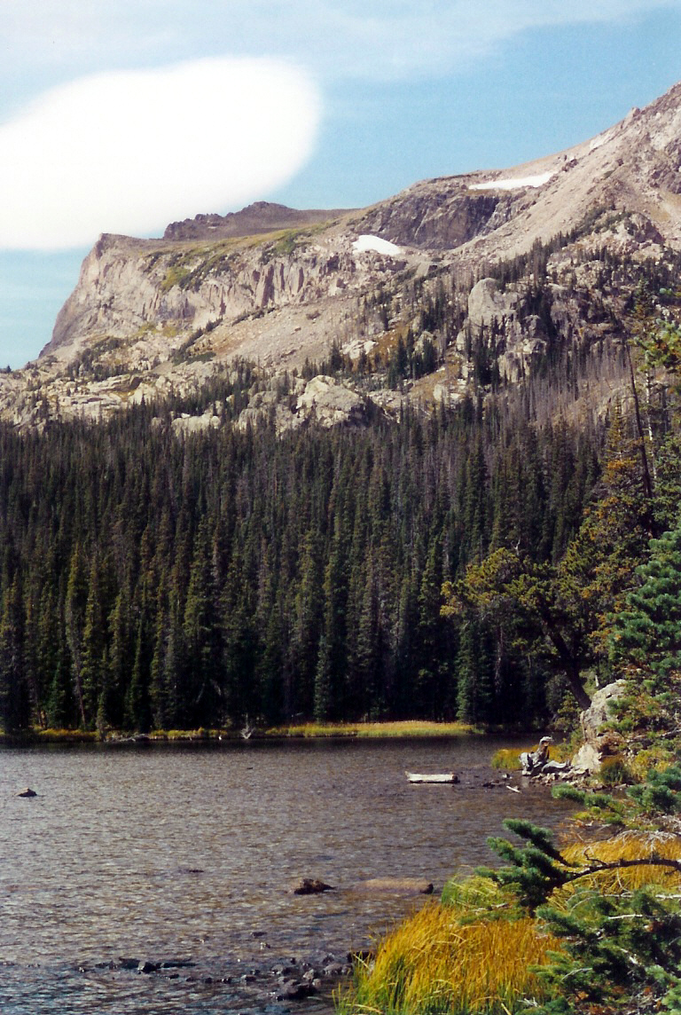
About Chickadee Pond
On the map, Chickadee Pond belongs to the Wild Basin section of Rocky Mountain National Park, at 10,030 feet on the east side of the Continental Divide. In this guide it is treated as a moderate pond.
Wild Basin is a deep southeast corner of the park, with waterfalls, long forested approaches, and many high lakes. It is a small pond in Wild Basin. The approach from Wild Basin TH is 4.0 miles one-way, enough to feel like a real hike without entering the hardest tier.
NPS hiking and wilderness tables list Wild Basin routes to Ouzel Falls, Ouzel Lake, Thunder Lake, Finch Lake, Pear Lake, and Sandbeach Lake, making this southeast corner one of the park's densest lake-and-waterfall regions.
🚻 Restroom available at the Wild Basin TH trailhead. Vault toilet, picnic tables, and drinking water. In winter the trailhead moves closer to the entrance where an accessible bathroom is available.