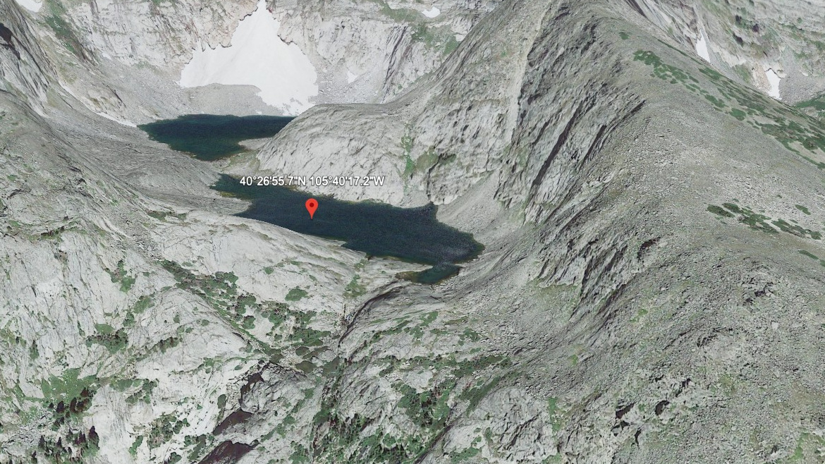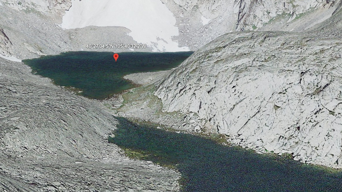
About Chiquita Lake
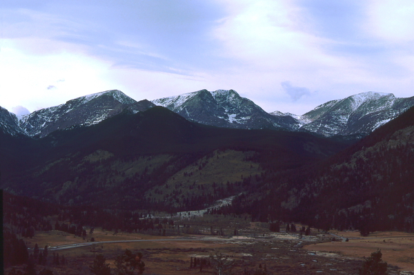
The Horseshoe Park / Lawn Lake Area setting gives Chiquita Lake its frame: a hard lake, 11,342 feet high, and positioned on the east side of the Continental Divide.
The Lawn Lake and Horseshoe Park area climbs from open valley terrain into the Mummy Range high country. It lies near Mt. Chiquita. The approach from Ypsilon Lake TH is 5.5 miles one-way and belongs in the hard tier for this guide.
NPS and USGS both document the 1982 Lawn Lake flood as a major hydrologic event in this drainage, which gives the quiet lake basins above Horseshoe Park an unusually visible park-history layer.
🚻 Restroom available at the Lawn Lake TH trailhead. Pit toilet/privy at the parking area. No potable water.
Route Map
Hike Reports
No reports yet for this season.
Log your hike to leave a report for other visitors.