About Hutcheson Lakes (Middle)
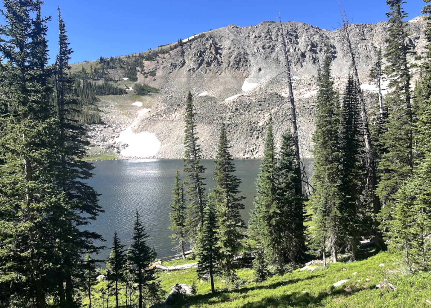
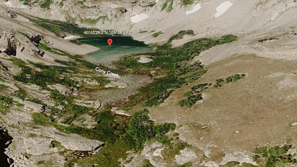
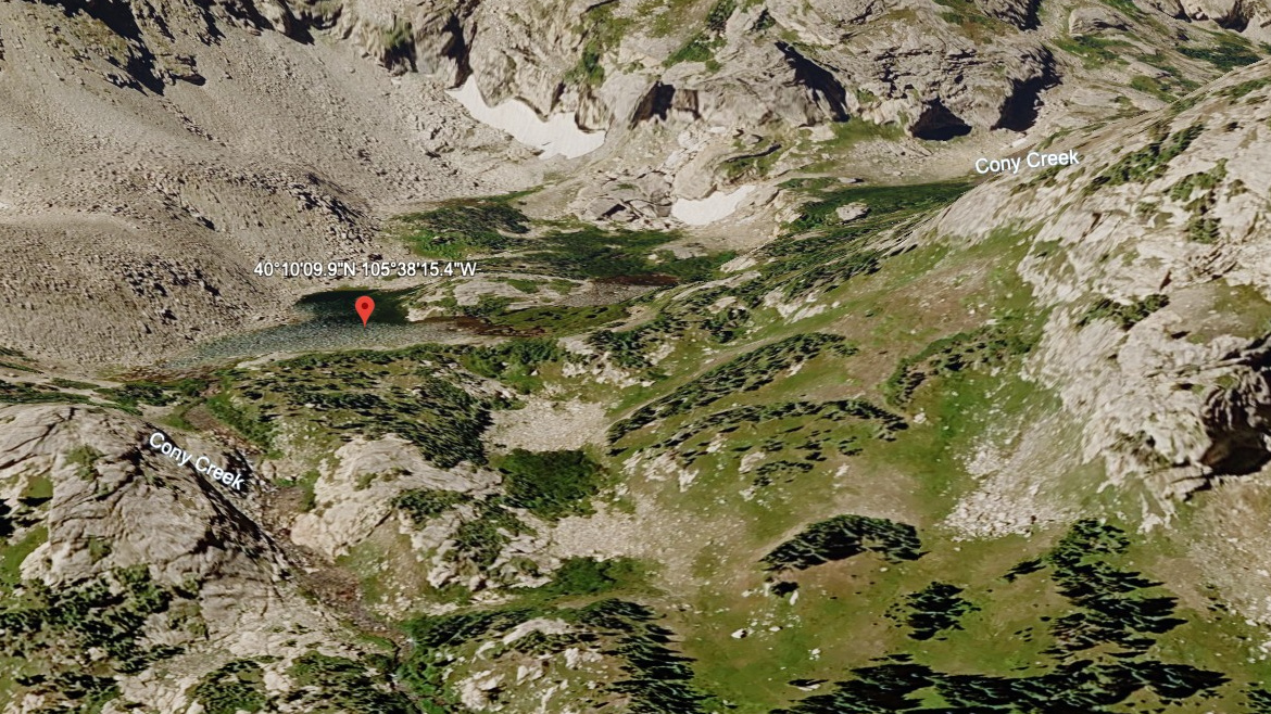
Hutcheson Lakes (Middle) is one of three alpine lakes along Cony Creek in the deep southern reach of Wild Basin. The trio is framed by Copeland Mountain (north), Ogalalla Peak (west), and Elk Tooth (south) — a high-walled valley that climbs to Cony Lake and the Continental Divide above. This is the middle of the cluster, at about 10,950 ft.
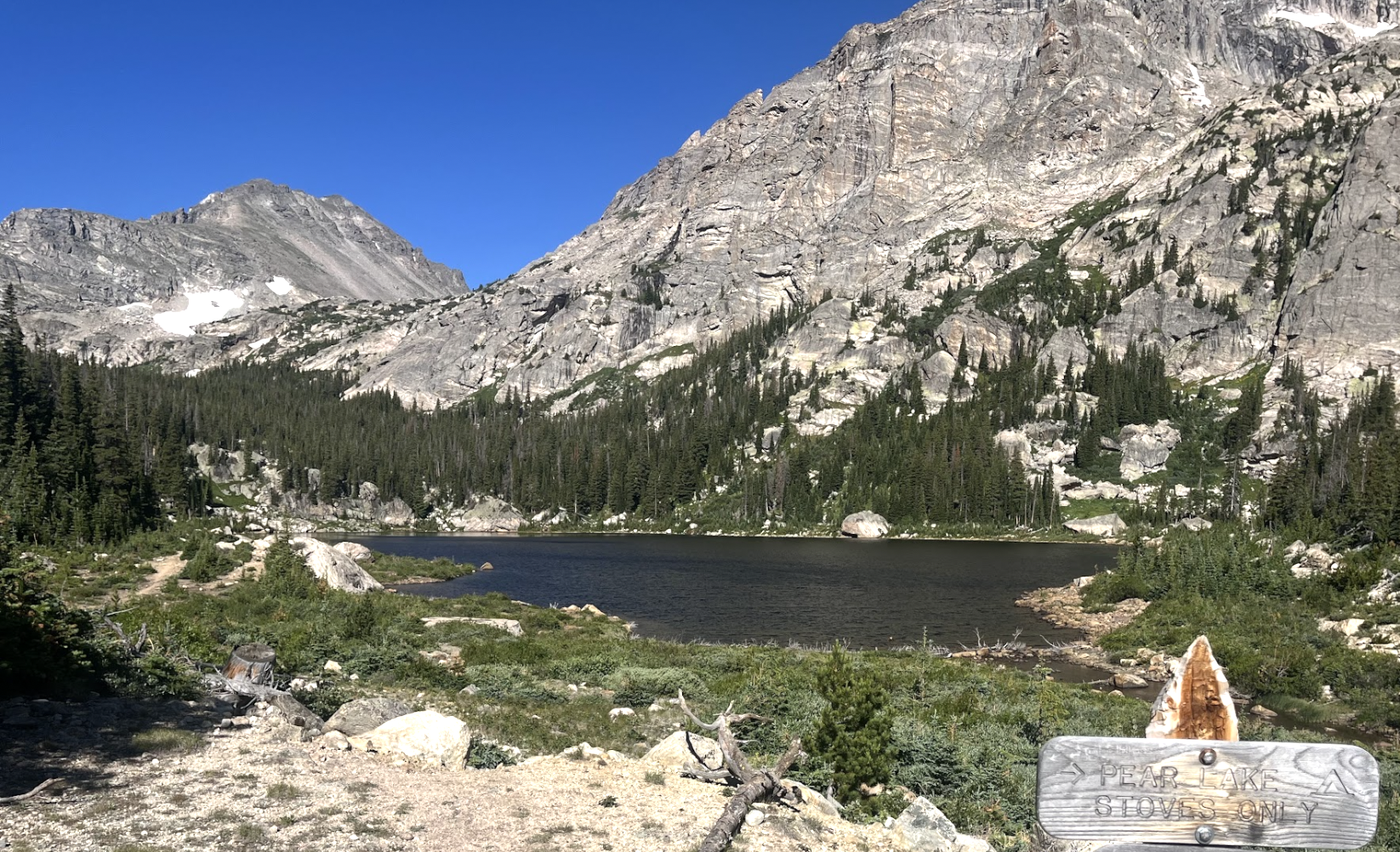
Maintained trail ends at Pear Lake; from there the route follows a lightly used social trail up the south shore of Pear Lake into the Hutcheson basin. Route-finding and bushwhacking are required, especially between the lower lakes and Cony Lake at the head of the drainage. Only experienced hikers should attempt this.
NPS lists the lake at 7.5 miles from the Finch Lake Trailhead via Finch and Pear Lakes — a long day or a comfortable overnight. The approach crosses aspen groves and long stretches of moss-draped forest before climbing above treeline into the Hutcheson cirque.
🚫 No restroom at the Finch Lake TH trailhead — plan accordingly. No facilities at the trailhead. Restrooms at Wild Basin entrance station (~1.75 mi before trailhead).