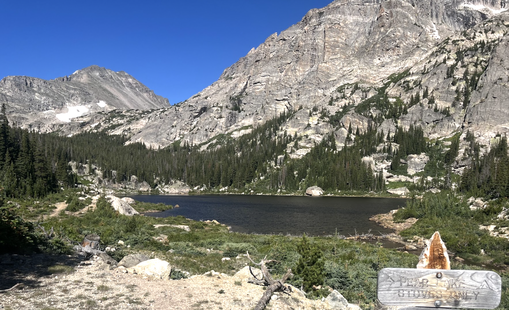
About Pear Lake (Pear Reservoir)
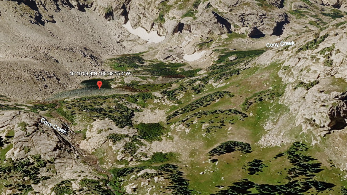
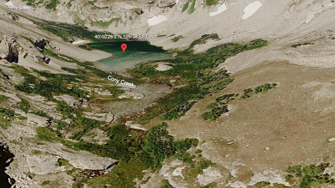
Pear Lake (Pear Reservoir), also called Pear Reservoir in the source data, sits at 10,582 feet in southern Wild Basin. The listed approach is 6.0 miles one-way from the Finch Lake and Allenspark trailhead.
NPS hydrology materials note that old high-mountain reservoir works at Sandbeach and Pear Lakes were removed and the land regraded in 1988. That history makes Pear more than a scenic endpoint; it is also part of the park's long effort to restore altered alpine water systems.
NPS wilderness-site data also lists Pear Lake (Pear Reservoir) in the Wild Basin Area: 6.6 miles from the trailhead, 2,110 feet of elevation change, an average snow-free date of July 12, and a site elevation of 10,580 feet.
Route Map
Hike Reports
No reports yet for this season.
Log your hike to leave a report for other visitors.