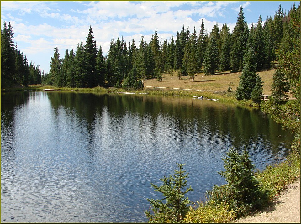
About Lake Nanita
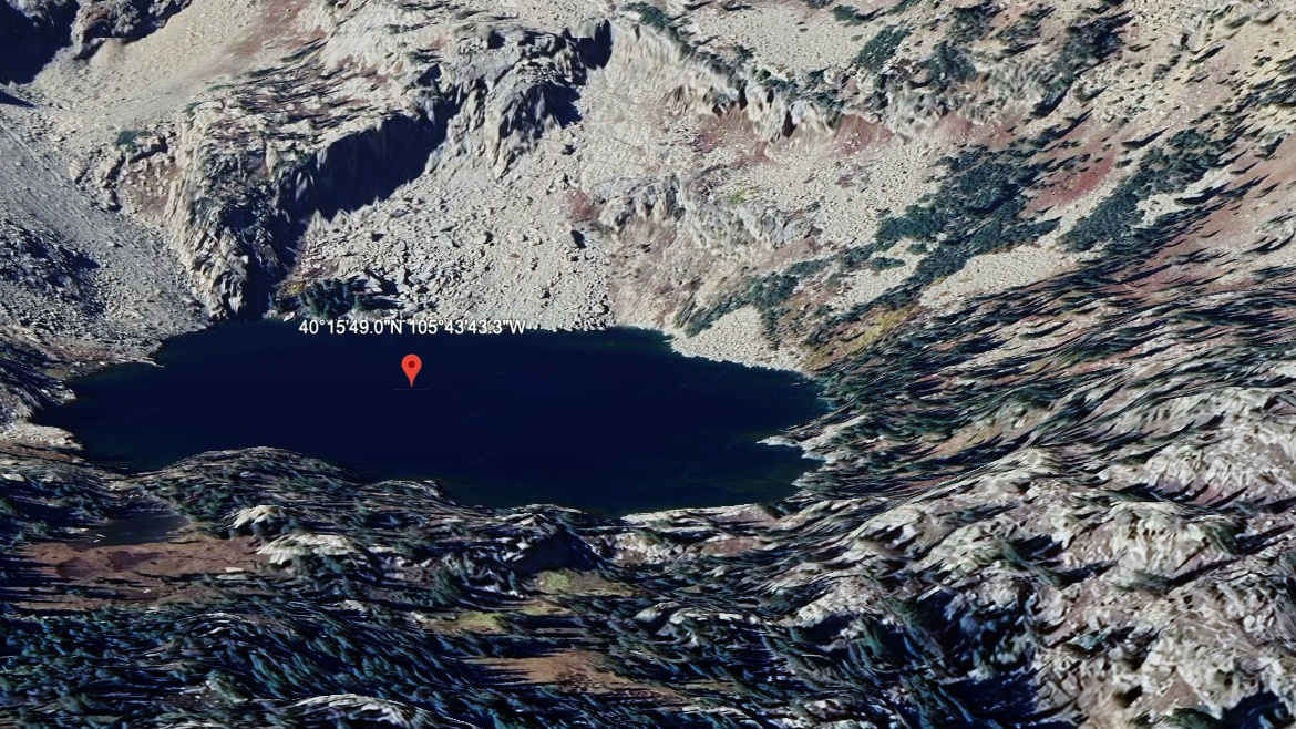
The North Inlet / Grand Lake Area (West) setting gives Lake Nanita its frame: a hard lake, 10,781 feet high, and positioned on the west side of the Continental Divide.
The setting is remote west-side lake; North Inlet drainage. The approach from North Inlet TH is 7.0 miles one-way and belongs in the hard tier for this guide. The North Inlet and Grand Lake area is west-side backcountry: longer valleys, broad drainages, and fewer quick turnarounds. The distance and setting make this a plan-ahead destination, not a casual lake stop.
NPS distance tables place the North Inlet Trailhead near Grand Lake on the west side, where long valley approaches replace the short, crowded Bear Lake Road pattern.
Route Map
Hike Reports
No reports yet for this season.
Log your hike to leave a report for other visitors.