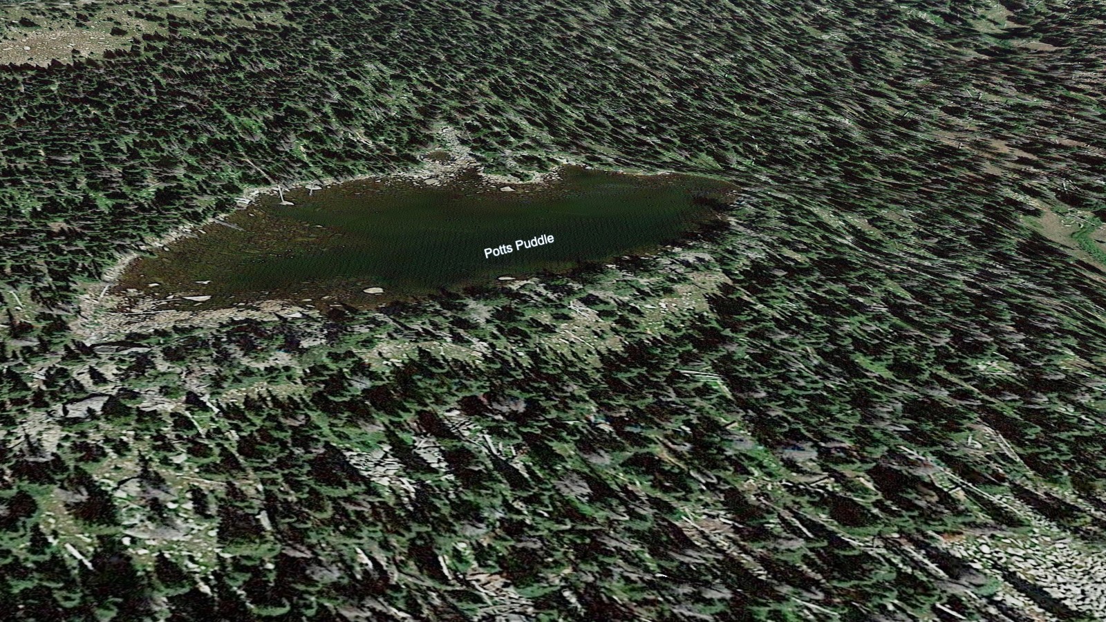
About Potts Puddle
The Horseshoe Park / Lawn Lake Area setting gives Potts Puddle its frame: a hard pond, 10,890 feet high, and positioned on the east side of the Continental Divide.
It is a small remote pond near Mummy Range. The approach from Lawn Lake TH is 5.5 miles one-way and belongs in the hard tier for this guide. The Lawn Lake and Horseshoe Park area climbs from open valley terrain into the Mummy Range high country. The distance and setting make this a plan-ahead destination, not a casual lake stop.
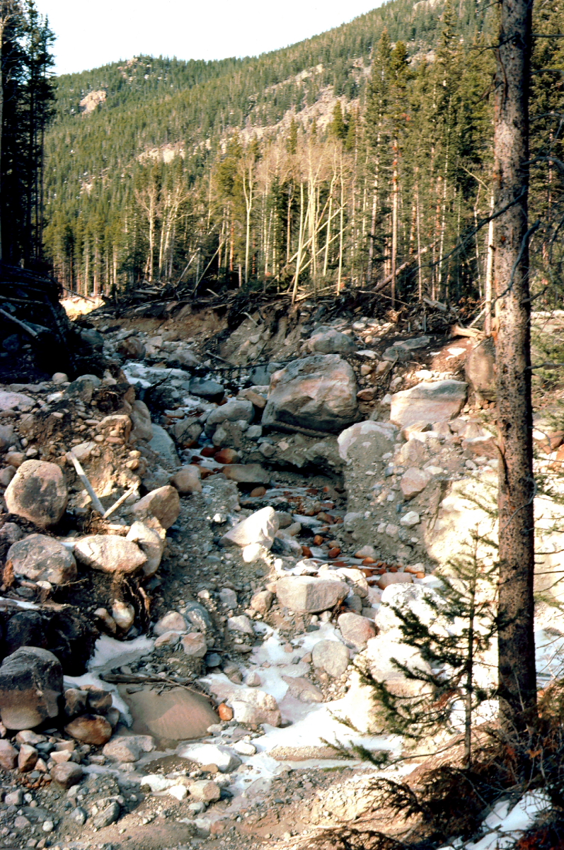
NPS and USGS both document the 1982 Lawn Lake flood as a major hydrologic event in this drainage, which gives the quiet lake basins above Horseshoe Park an unusually visible park-history layer.
🚻 Restroom available at the Lawn Lake TH trailhead. Pit toilet/privy at the parking area. No potable water.