About Lake Powell
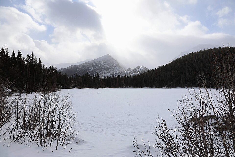
On the map, Lake Powell belongs to the Glacier Gorge / Bear Lake Corridor section of Rocky Mountain National Park, at 11,532 feet on the west side of the Continental Divide. In this guide it is treated as a hard lake.
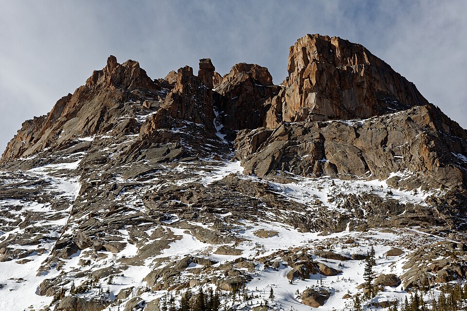
The listed approach is 6.5 miles one-way from Glacier Gorge TH (off-trail), but this should be treated as a route-finding objective rather than a simple maintained-trail hike. The setting is remote, west face of McHenrys Peak. In this area, glacier Gorge is one of the park's classic glacial valleys, with lakes stacked from lower forest to upper alpine basin.
NPS trail tables show Glacier Gorge as the starting point for Alberta Falls, Mills Lake, Black Lake, The Loch, Sky Pond, and Andrews Glacier, so lakes here often sit on routes that continue well beyond a single shoreline.
🚻 Restroom available at the Glacier Gorge TH (off-trail) trailhead. Pit/vault toilet at the trailhead. Glacier Basin park-and-ride nearby has flush toilets.