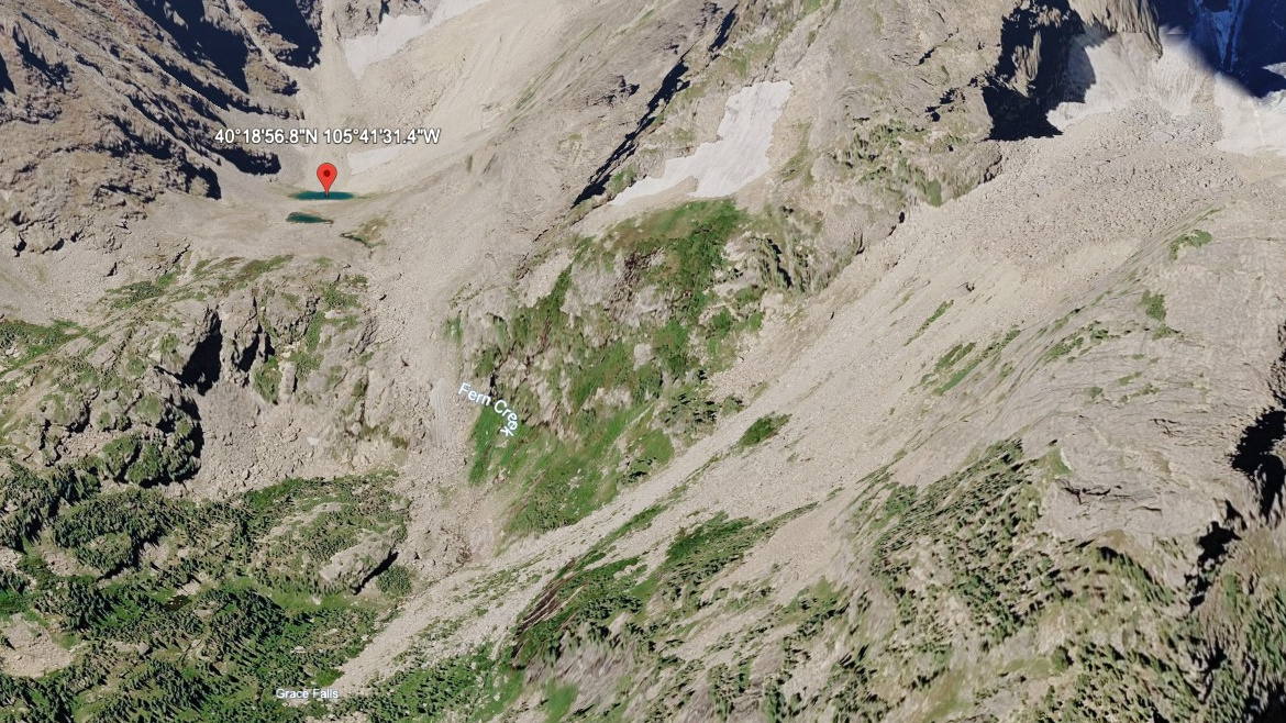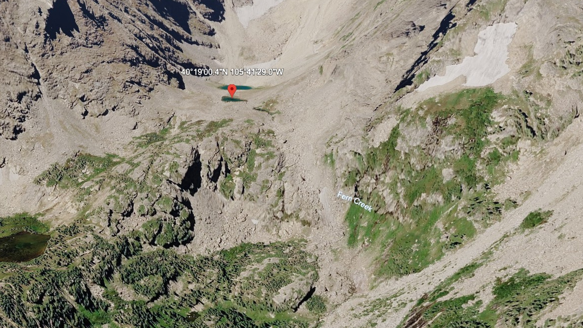
About Ptarmigan Tarn #1
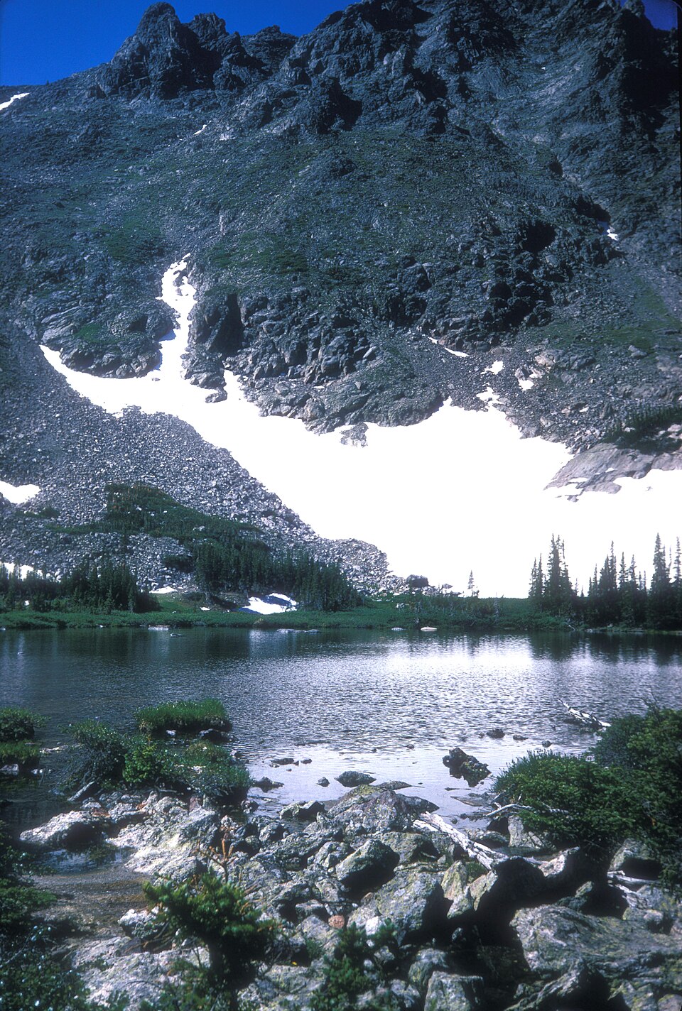
Ptarmigan Tarn #1 is a small alpine pool on Bighorn Flats, the broad tundra shelf that stretches west from Ptarmigan Point along the Continental Divide. Bighorn Flats sits above 11,800 ft, well past treeline, with views down both sides of the Divide.
Access is via the Flattop Mountain Trail from Bear Lake Trailhead — a steep haul to Flattop's 12,324 ft summit — followed by an off-trail traverse across the tundra to the tarn. Route finding is straightforward in good visibility but exposed; afternoon thunderstorms build quickly in summer.
The tarn pairs with a companion (Ptarmigan Tarn #2) just to the southwest. Both are seasonal — meltwater-fed in early summer, often dry by late August. Tread carefully on the alpine vegetation; tundra recovery is measured in decades, not seasons.
🚻 Restroom available at the Bear Lake TH (Flattop Trail) trailhead. Flush toilets at the parking lot. Year-round when road is open.