About Sky Pond
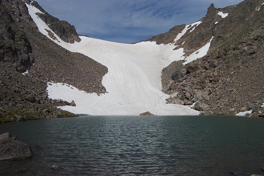
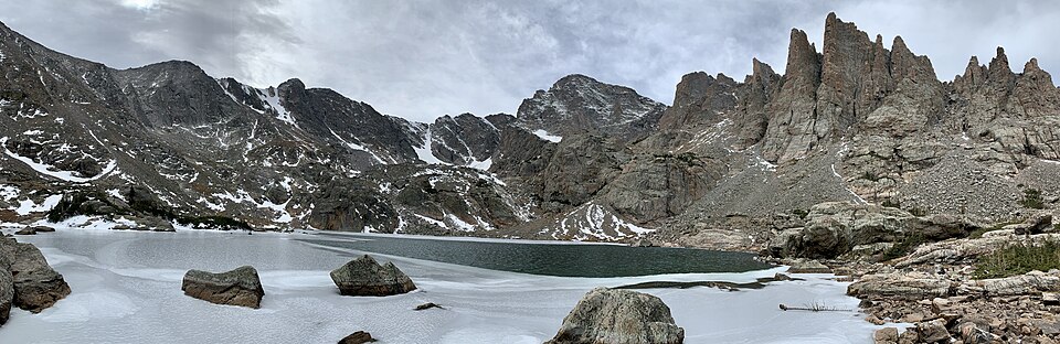
Sky Pond is one of the signature hard hikes in Rocky Mountain National Park. It sits at 10,886 feet above Lake of Glass, 4.9 miles one-way from Glacier Gorge Trailhead, reached through Loch Vale and the Timberline Falls area.
The route strings together several major landmarks: Alberta Falls, The Loch, Lake of Glass, and finally Sky Pond. That sequence is why the hike appears so often in park discussions, but the mileage understates the effort; the upper approach is rocky, steep, and fully alpine in feel.
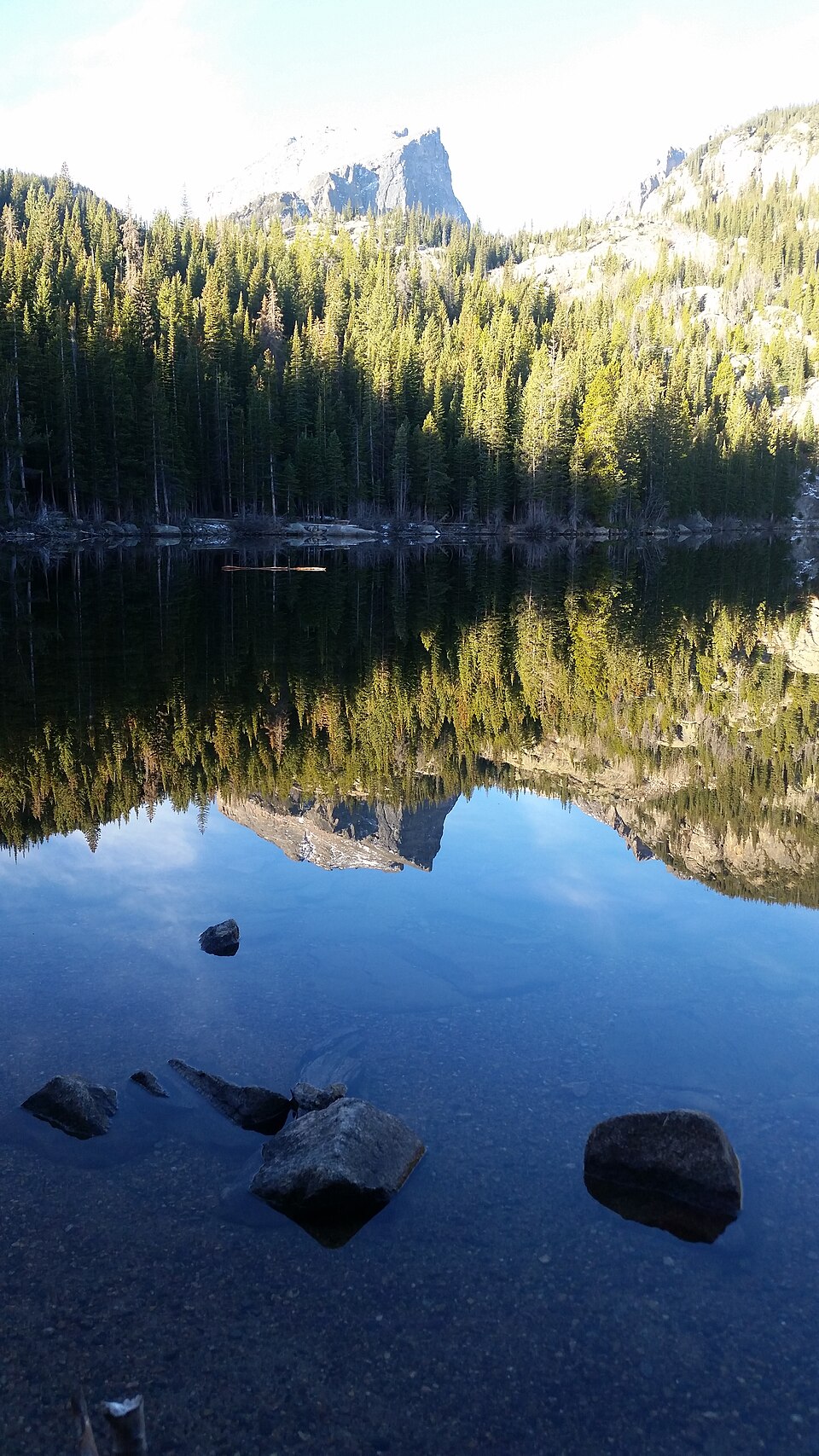
NPS describes The Loch as part of scenic Loch Vale, reached from Glacier Gorge after the Alberta Falls and Mills Junction area; Sky Pond and Lake of Glass continue higher in the same drainage.
🚻 Restroom available at the Glacier Gorge TH trailhead. Pit/vault toilet at the trailhead. Glacier Basin park-and-ride nearby has flush toilets.