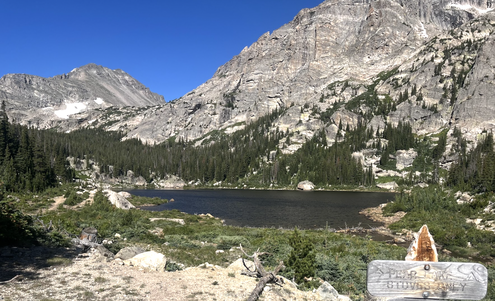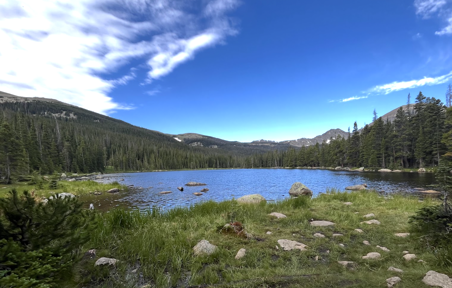
About Finch Lake
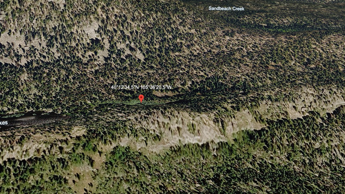
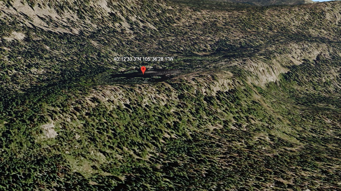
Finch Lake sits at 9,912 feet in southern Wild Basin, reached by a moderate 4.5-mile one-way hike from the Finch Lake and Allenspark trailhead. It is a quieter southern approach compared with the main Wild Basin trailhead.
The lake is important because it opens the way toward Pear Lake and the southern Wild Basin backcountry. It is moderate in this data set, but the setting still asks for normal mountain preparation and attention to distance.
NPS wilderness-site data also lists Finch Lake in the Wild Basin Area: 4.6 miles from the trailhead, 1,440 feet of elevation change, an average snow-free date of June 11, and a site elevation of 9,910 feet.
Route Map
Hike Reports
No reports yet for this season.
Log your hike to leave a report for other visitors.