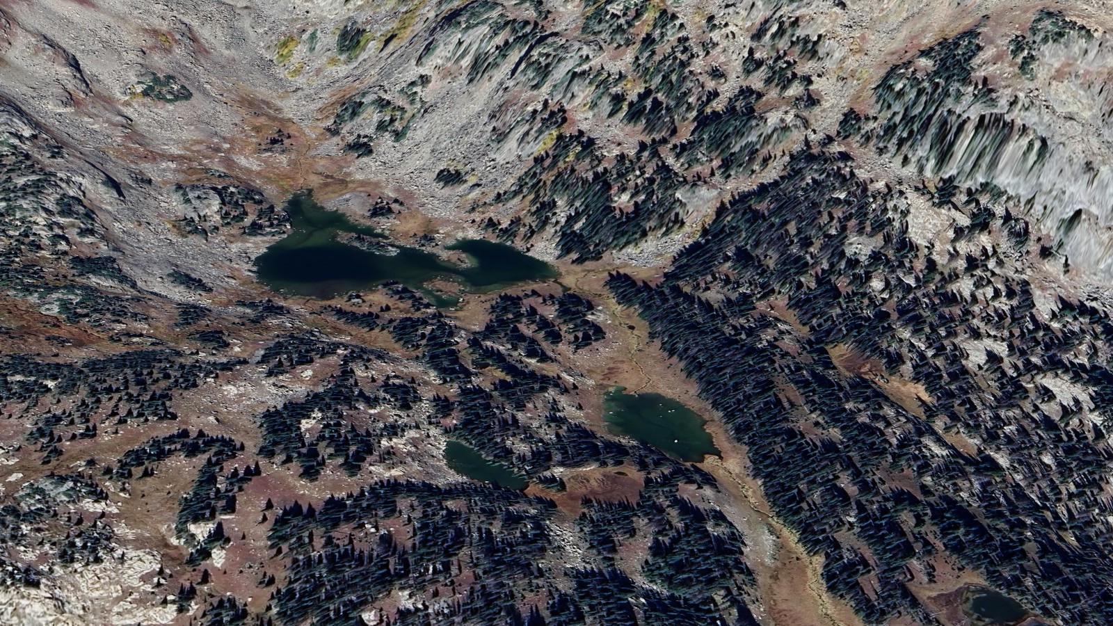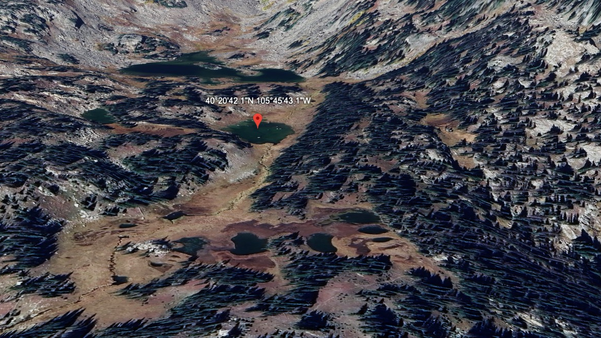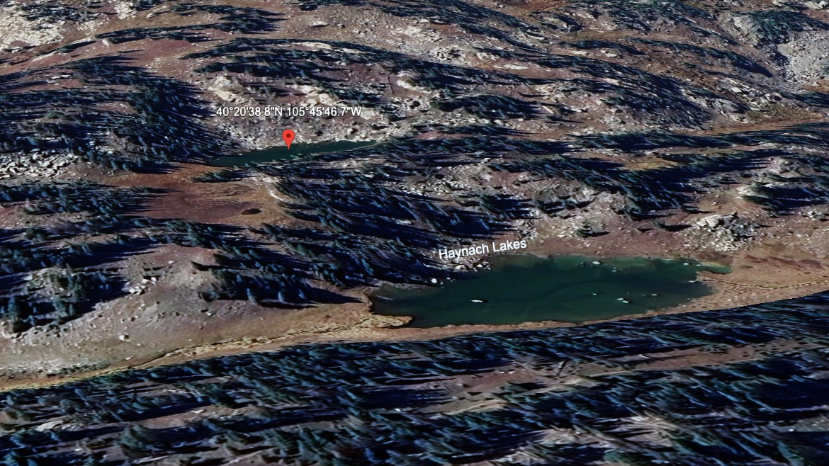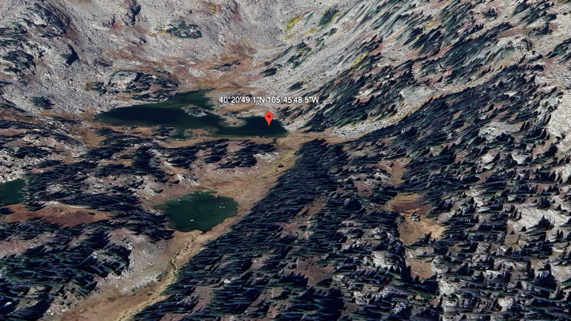
About Haynach Lakes (north pond)
The north pond of Haynach Lakes is a small, isolated body north of the main lake, technically part of Haynach Lakes (main) during high water conditions but generally separated by a small ridge of land.
Like the main lake, it sits at roughly 11,060 ft in the secluded north-south valley below Nakai Peak on the west side of the Continental Divide. The pond is reached as a side trip from the main lake — a short cross-country scramble over meadow and rock.
Access is the same as the main lake: Tonahutu Creek Trail from Green Mountain TH (~8 miles), or via Flattop Mountain from Bear Lake TH (~9 miles). The pond rarely sees visitors who don't make a point of finding it.
Route Map
Hike Reports
No reports yet for this season.
Log your hike to leave a report for other visitors.