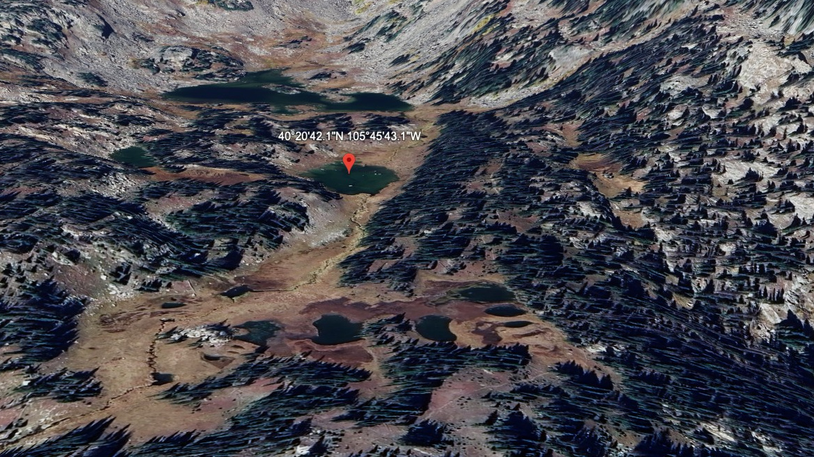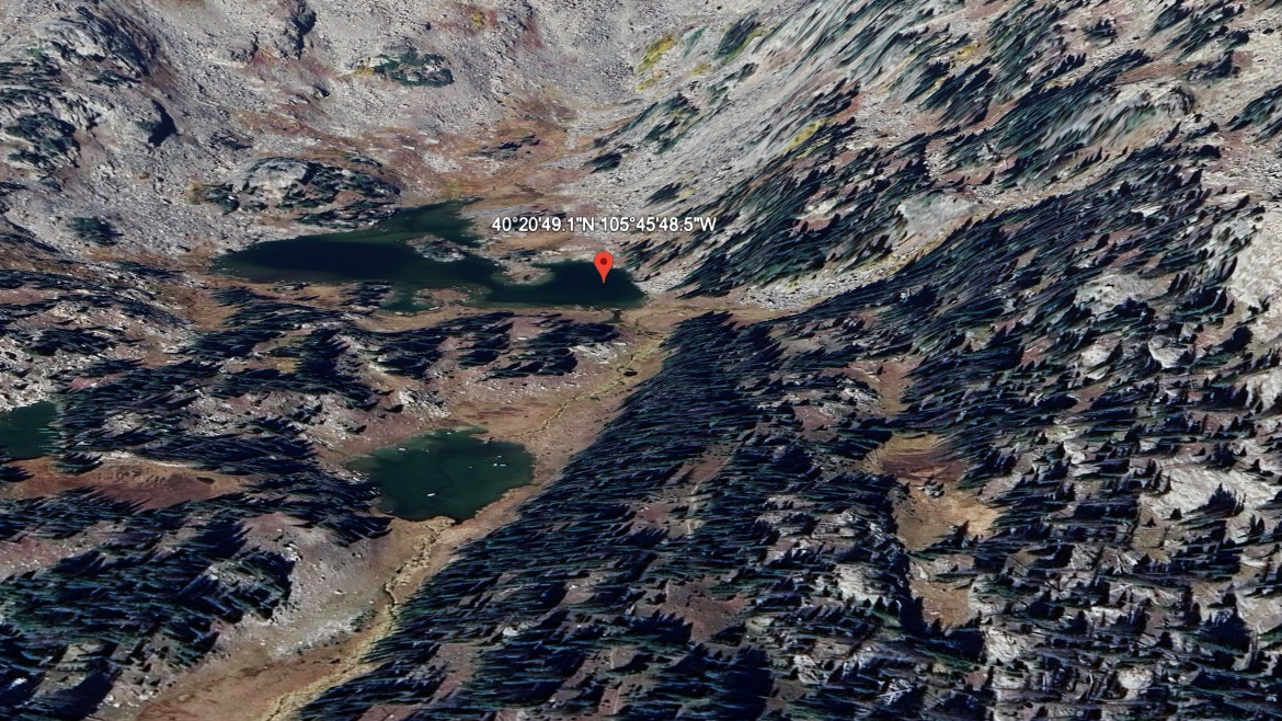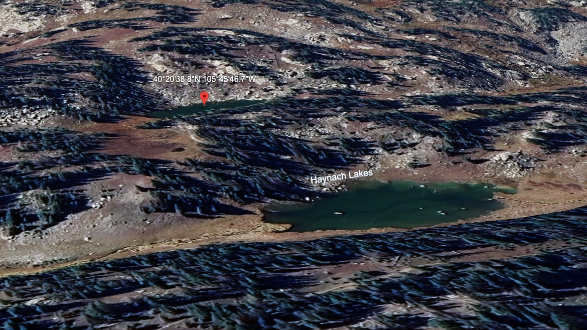
About Haynach Lakes (south pond #2)
South pond #2 of Haynach Lakes is the second of two small pools south of the main lake — a newly cataloged feature that doesn't appear in OSM or USGS GNIS records but is clearly visible on satellite imagery. About 11,060 ft, west side of the Continental Divide.
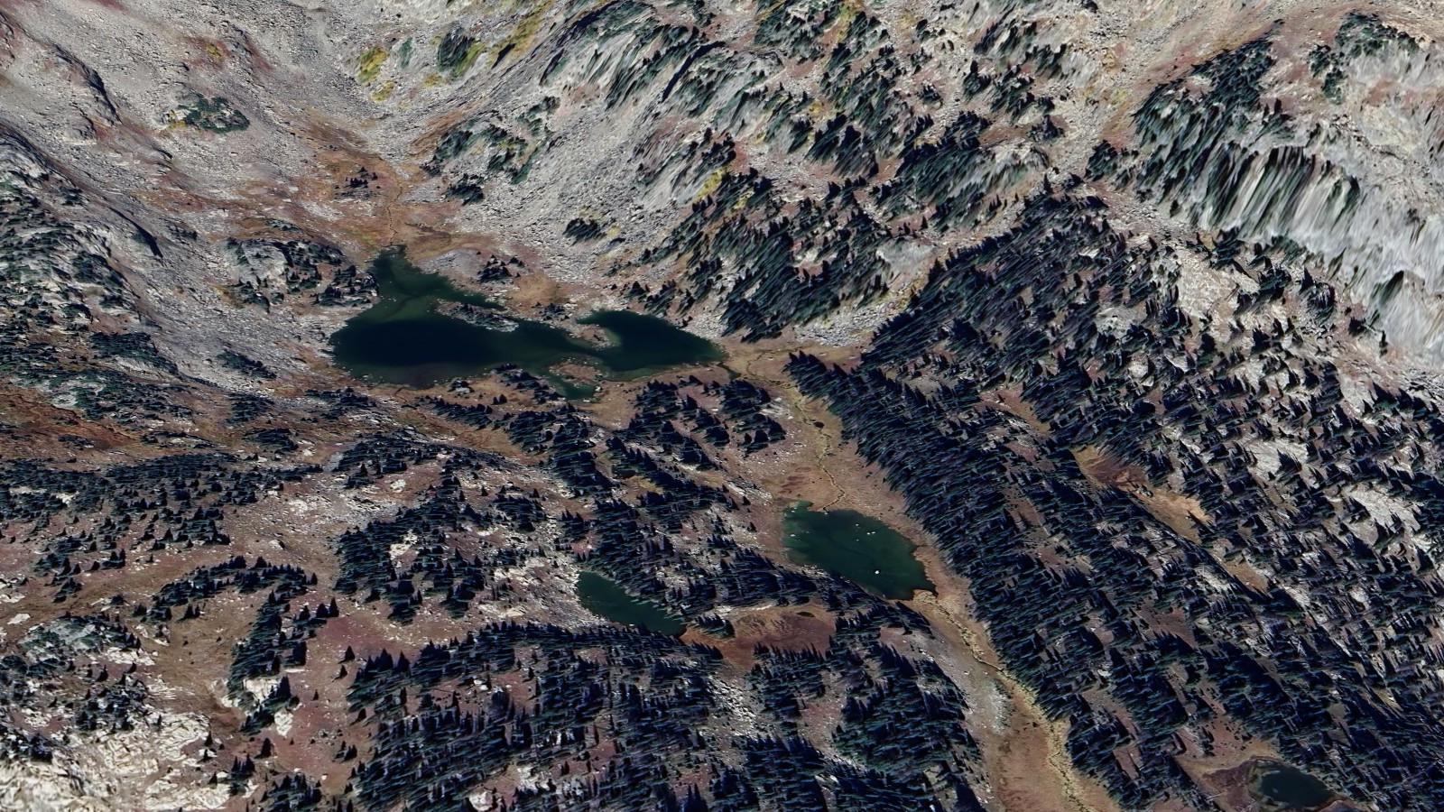
The Haynach basin sits in a secluded north-south valley below Nakai Peak. Access from Green Mountain TH via Tonahutu Creek Trail is about 8 miles one-way, with the Haynach campsite providing an overnight option 0.8 miles below the main lake.
Route Map
Hike Reports
No reports yet for this season.
Log your hike to leave a report for other visitors.