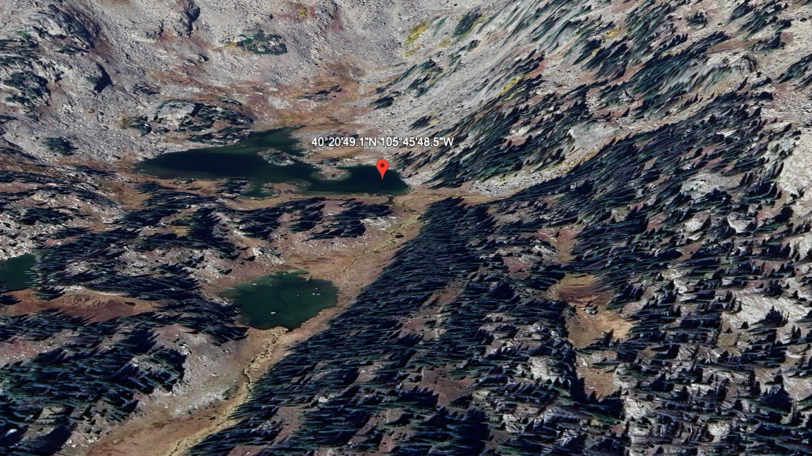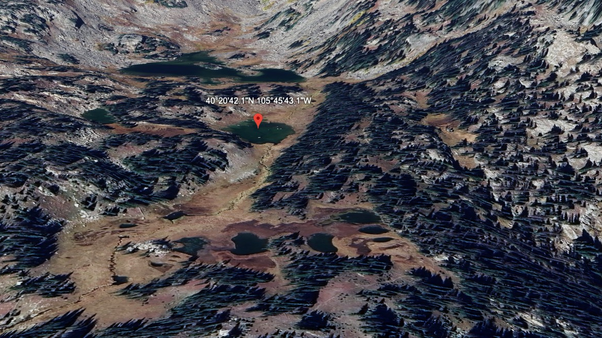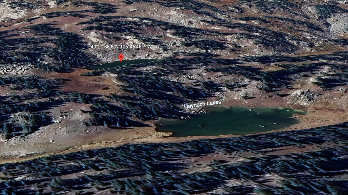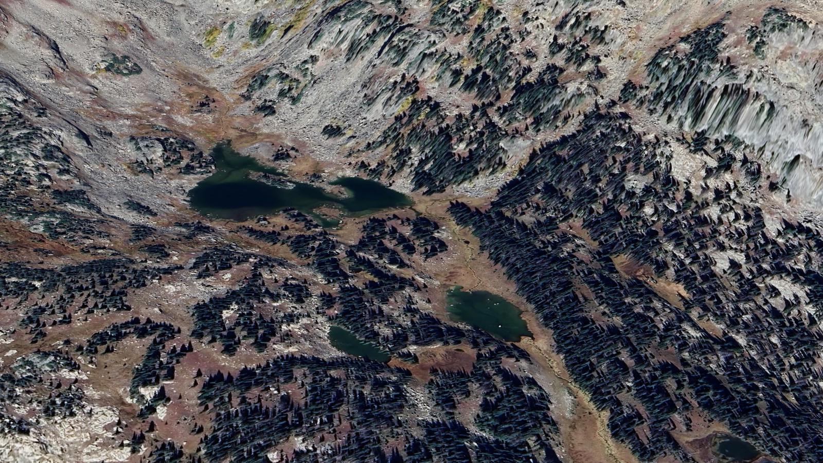
About Haynach Lakes (main)
Haynach Lakes (main) sits at 11,060 ft below Nakai Peak on the west side of the Continental Divide. The lake is the centerpiece of a small cluster of alpine pools tucked at the head of a secluded north-south valley, fringed by large meadows, braided streams, and abundant wildflowers in season.
The most direct route is the Tonahutu Creek Trail from Green Mountain Trailhead (about 8 miles one-way per NPS), gaining roughly 1,960 ft. The lake can also be reached via Bear Lake and Flattop Mountain (~9 miles) as part of the popular cross-park loop combining Flattop, North Inlet, and Tonahutu trails.
The Haynach campsite sits about 0.8 miles below the lake at 10,760 ft, making the area a feasible overnight from either side. Plan for cold nights, exposed approaches, and standard west-side wildlife considerations.