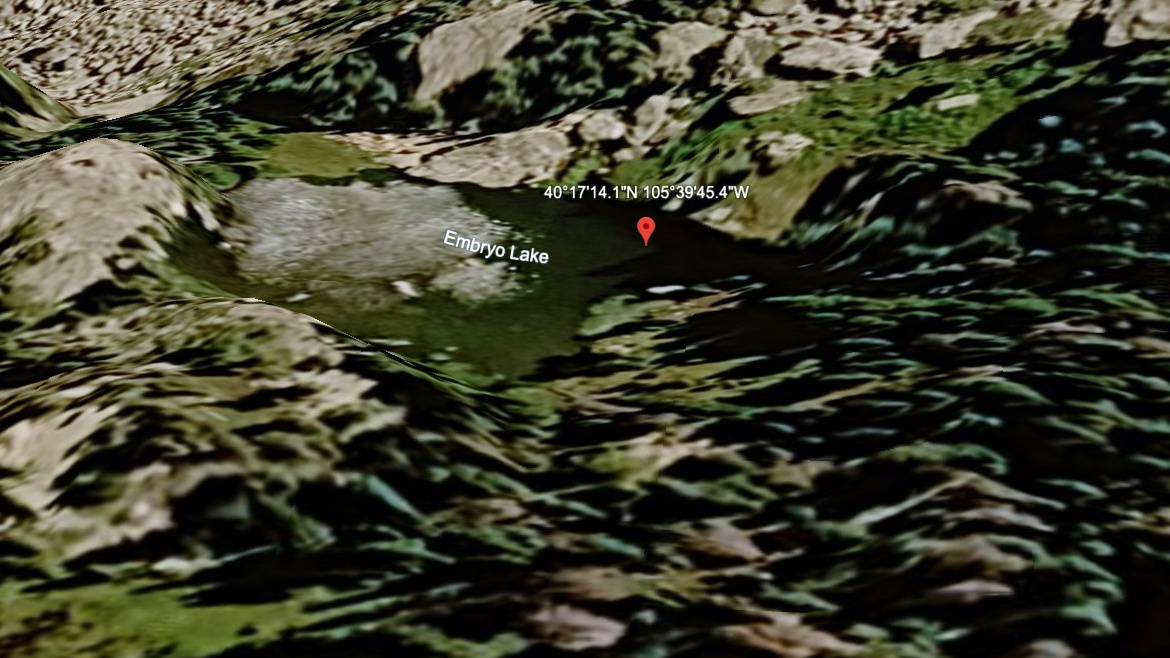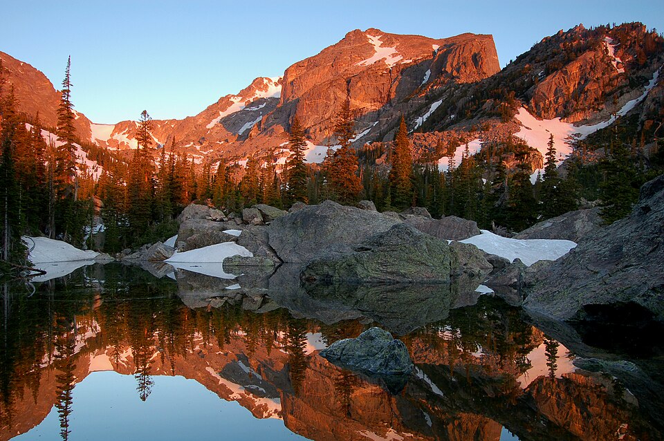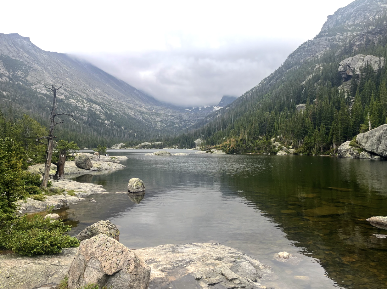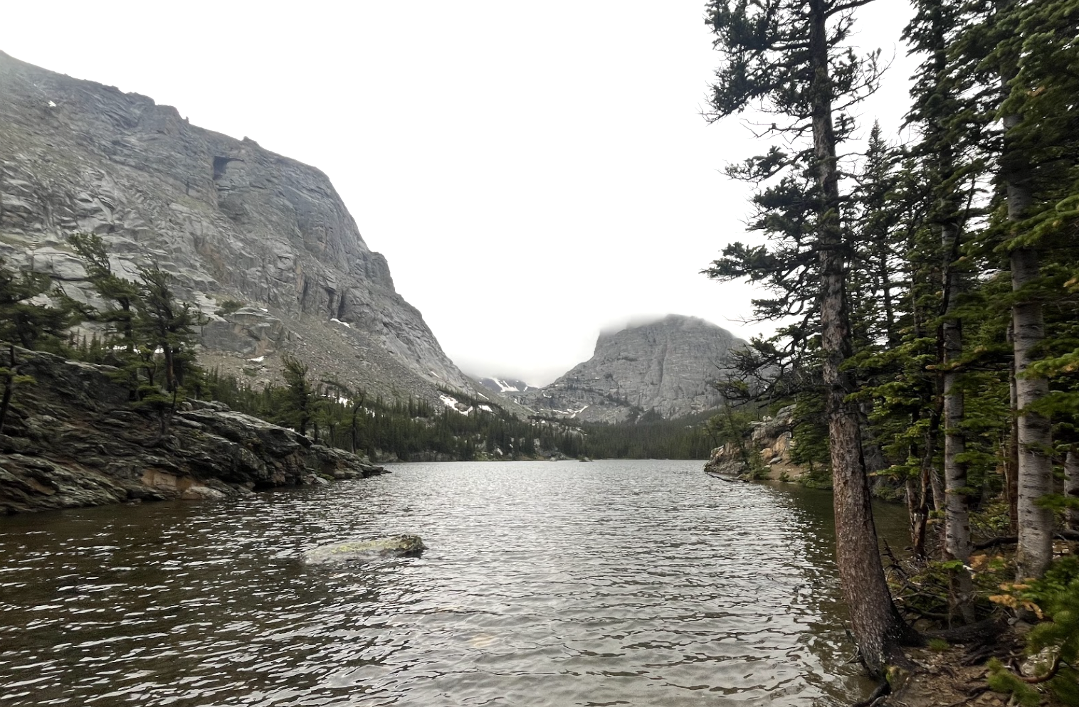
About The Loch
The Loch (or Loch Vale) is a stunning, glacier-fed alpine lake in Rocky Mountain National Park perched at 10,190 feet, offering iconic views of Taylor Peak and Otis Peak. Accessible via a moderate round-trip hike from Glacier Gorge trailhead, it is renowned for its dramatic scenery, featuring rushing, snow-capped peaks and the sparkling waters of Icy Brook.
Often considered one of the most scenic spots in the park, this tranquil destination is perfect for photography, fishing, or a picnic lunch while admiring the surrounding jagged peaks. Along the way, hikers can visit the spectacular Alberta Falls and traverse the scenic Loch Vale valley, making it a popular, high-reward, quintessential Colorado mountain experience.
🚻 Restroom available at the Glacier Gorge TH trailhead. Pit/vault toilet at the trailhead. Glacier Basin park-and-ride nearby has flush toilets.