About Mills Lake
Mills Lake is a Glacier Gorge lake at 9,938 feet, 2.8 miles one-way from Glacier Gorge Trailhead. The route is moderate by this site's scale and follows one of the park's classic trail corridors into the lower gorge.
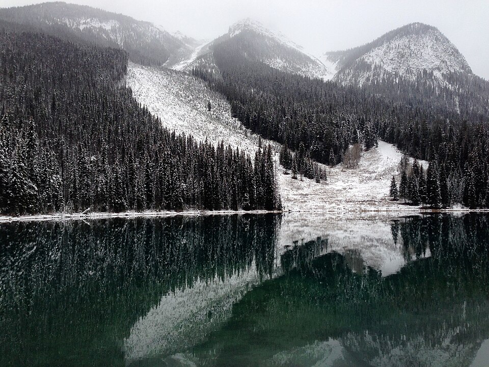
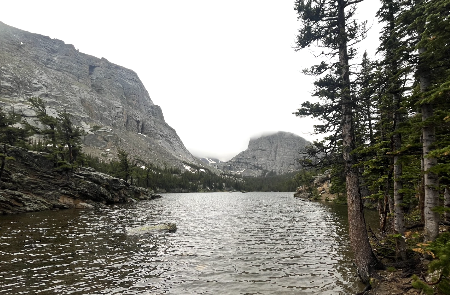
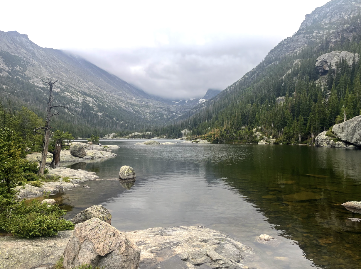
The lake matters because it is both a destination and a threshold. Jewel Lake is nearby, while Black Lake, Shelf Lake, and the upper Glacier Gorge basin continue farther above. For many hikers, Mills is where Glacier Gorge first opens into its full alpine shape.
Mills Lake is also one of the most underrated lakes in the Bear Lake Corridor. For hikers looking for a medium-length day hike in the 5–6 mile total range, it is an easy pick over busier destinations like The Loch or Dream and Emerald Lakes. Mills has a quieter, more settled feel, with clear water, smooth boulders breaking the shoreline, and small wind-shaped alpine trees that give the area an almost bonsai-like quality. It is not the hardest lake to reach, and it is not the most remote, but it may be one of the best-balanced hikes in this part of the park: enough effort to feel earned, but still very manageable as a half-day or relaxed day hike.
NPS trail tables show Glacier Gorge as the starting point for Alberta Falls, Mills Lake, Black Lake, The Loch, Sky Pond, and Andrews Glacier, so lakes here often sit on routes that continue well beyond a single shoreline.
🚻 Restroom available at the Glacier Gorge TH trailhead. Pit/vault toilet at the trailhead. Glacier Basin park-and-ride nearby has flush toilets.